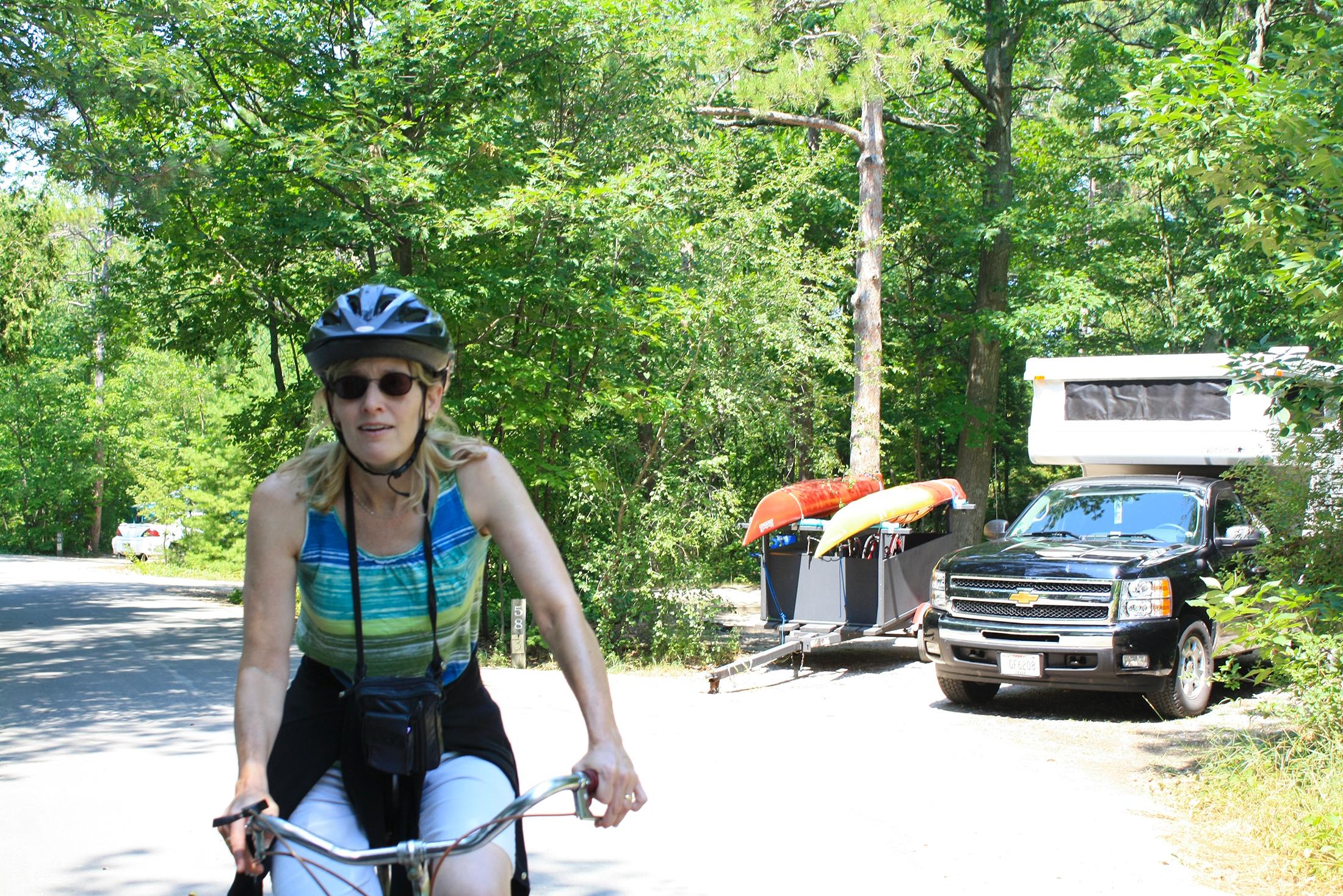
Biking in the campground
D. H. Day Campground
The rustic D.H. Day Campground is located in the northern district of the Sleeping Bear Dunes National Lakeshore, on the
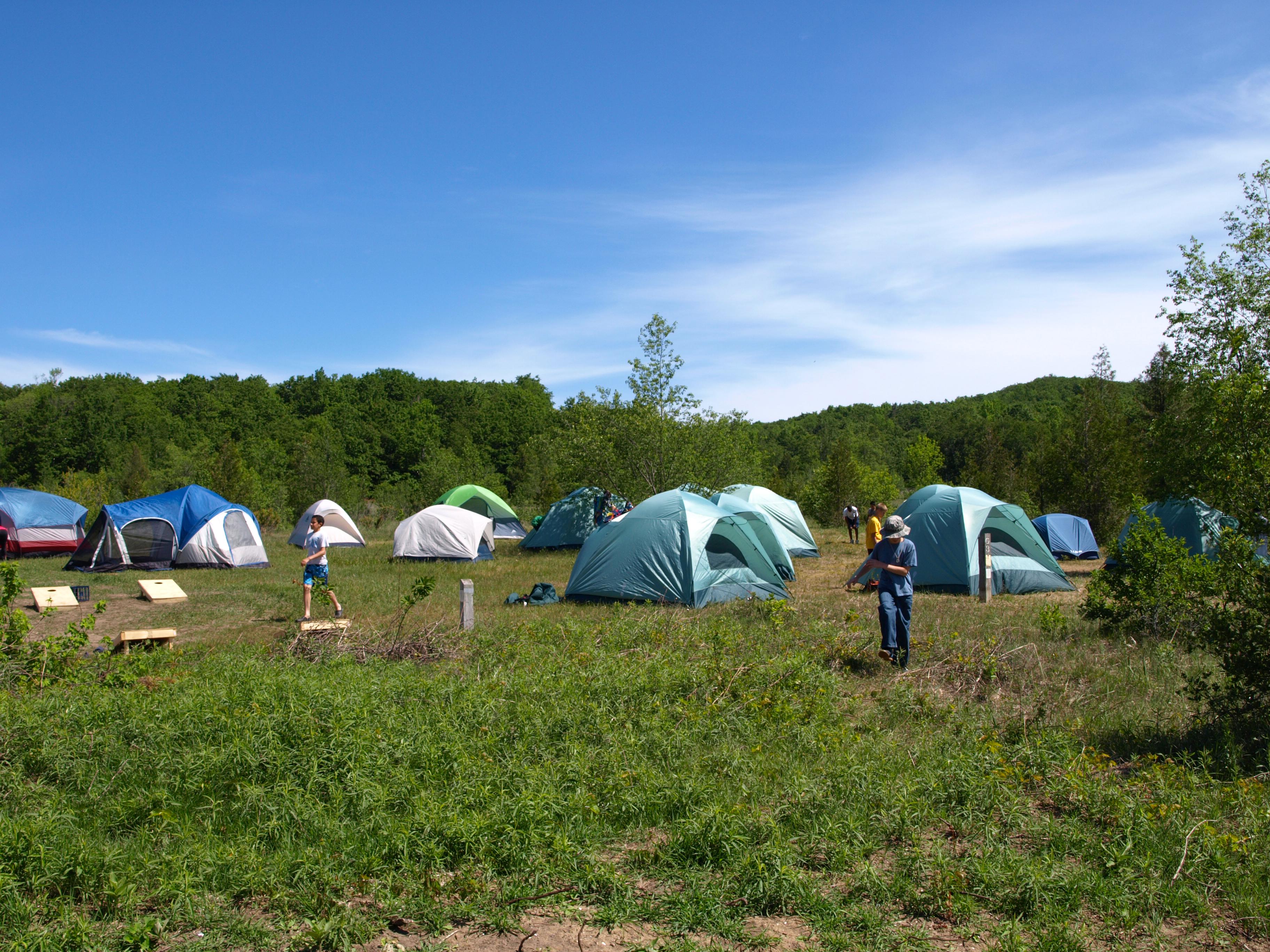
Tent sprawl across the DH Day group campground
D. H. Day Campground Group Campground
The D.H. Day Group Campground offers more rustic camping. You will find dirt roads, vault toilets, and ready access to
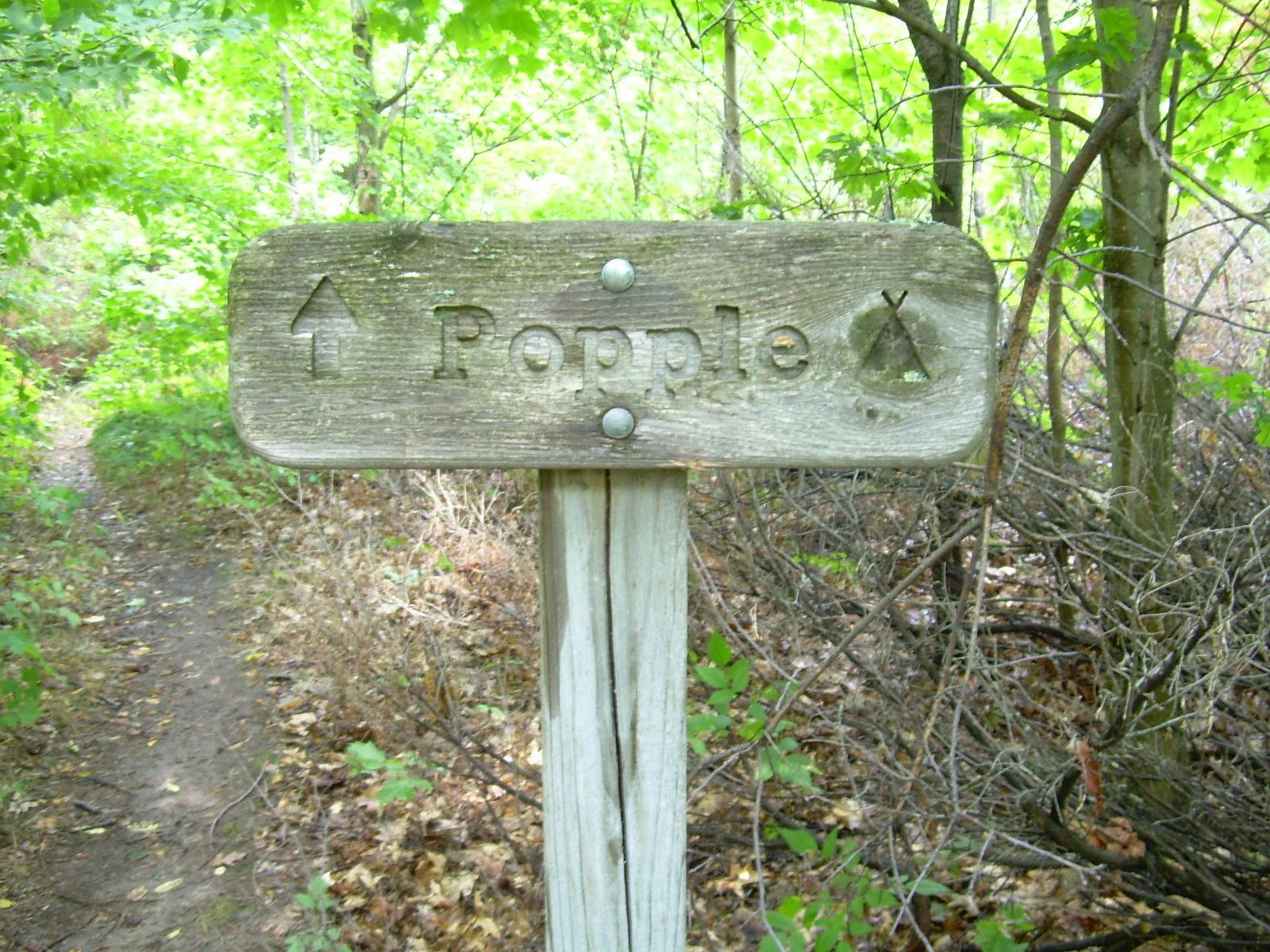
Popple Campground
Popple Campground - South Manitou Island
The Popple Campground is the furthest from the dock (about 3.5 miles), so you are likely to have fewer people
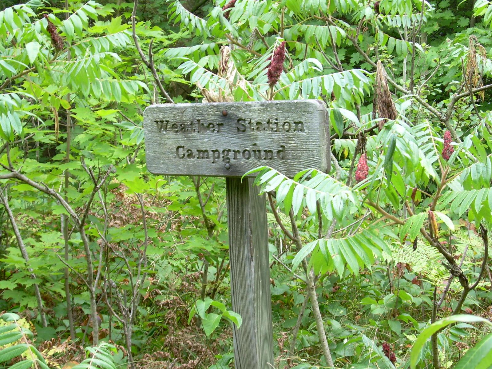
Weather Station Campground
Weather Station Campground - South Manitou Island
The Weather Station Campground overlooks Lake Michigan from the bluffs on the south side of the island. Camp sites are
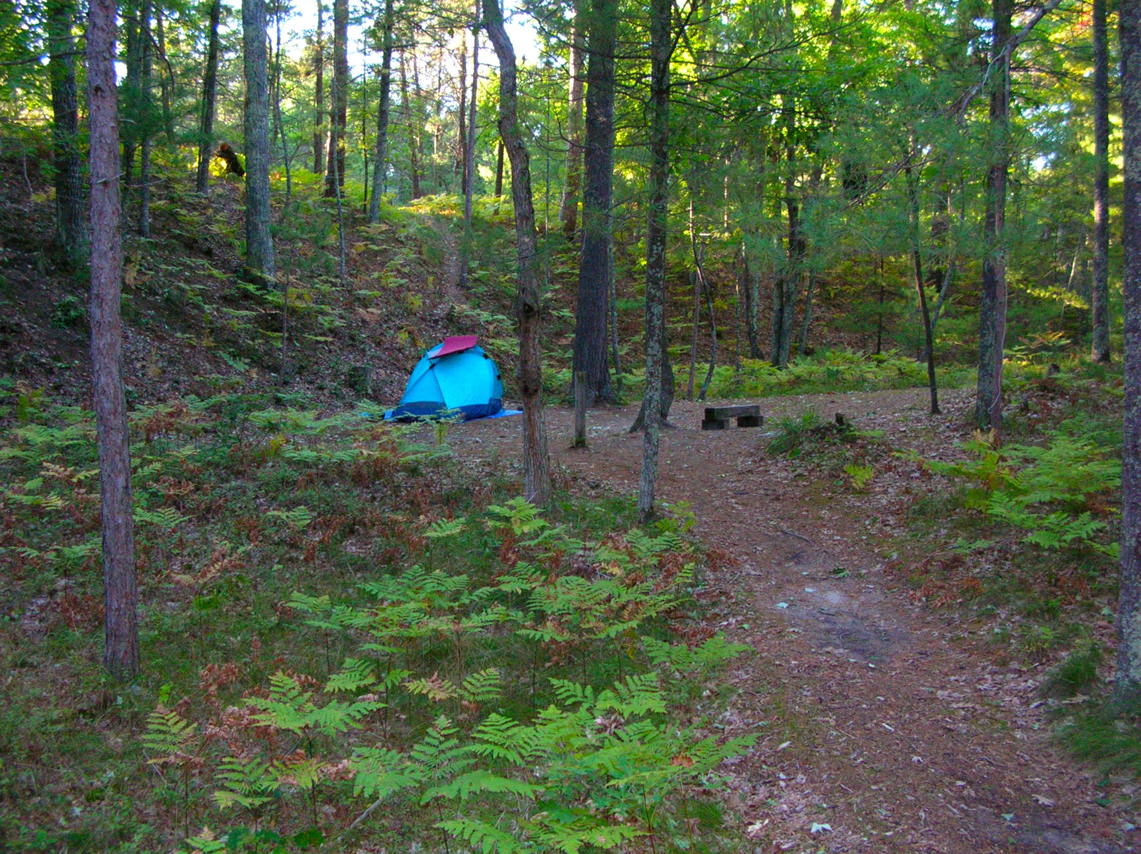
White Pine campsite
White Pine Backcountry Campground
This camp has 6 sites and is located about 2 miles from the Trail's End Road trailhead on the Platte
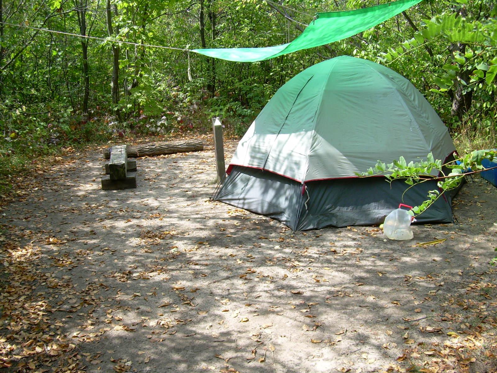
Village Campground
Village Campground - North Manitou Island
The small Village Campground contains eight first-come, first-served designated campsites, two fire rings and one outhouse. There is a limit
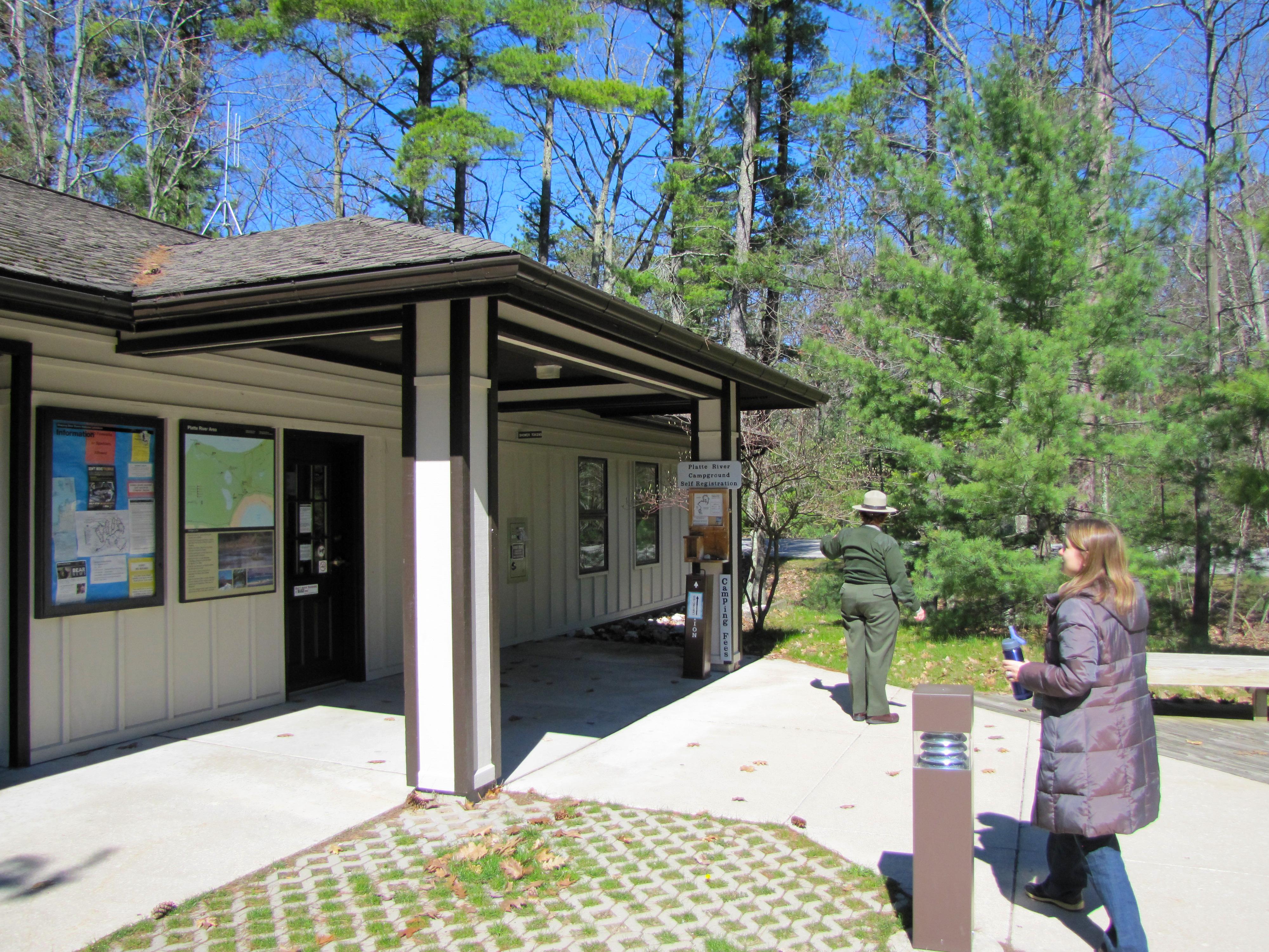
Entering the ranger staiton.
Platte River Campground
Platte River Campground is open year-round and offers a wide variety of camping styles. You can find back-in and pull-through
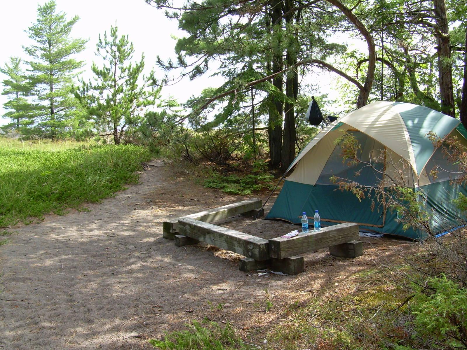
Bay Campground
Bay Campground - South Manitou Island
The Bay Campground is the closest campground to the dock. Bring water filtration equipment because there is no source of
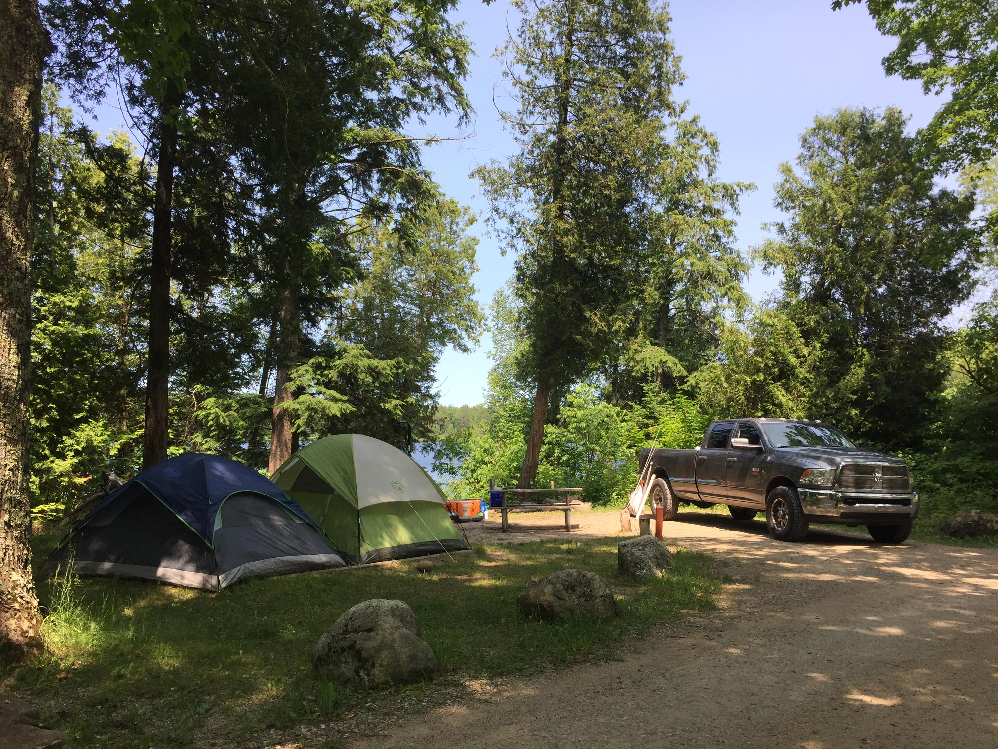
Campsite at Little Beaver Lake Campground
Little Beaver Lake Campground
Little Beaver Lake Campground has 8 campsites on a beautiful inland lake. One campsite is disabled- accessible. Single unit vehicles
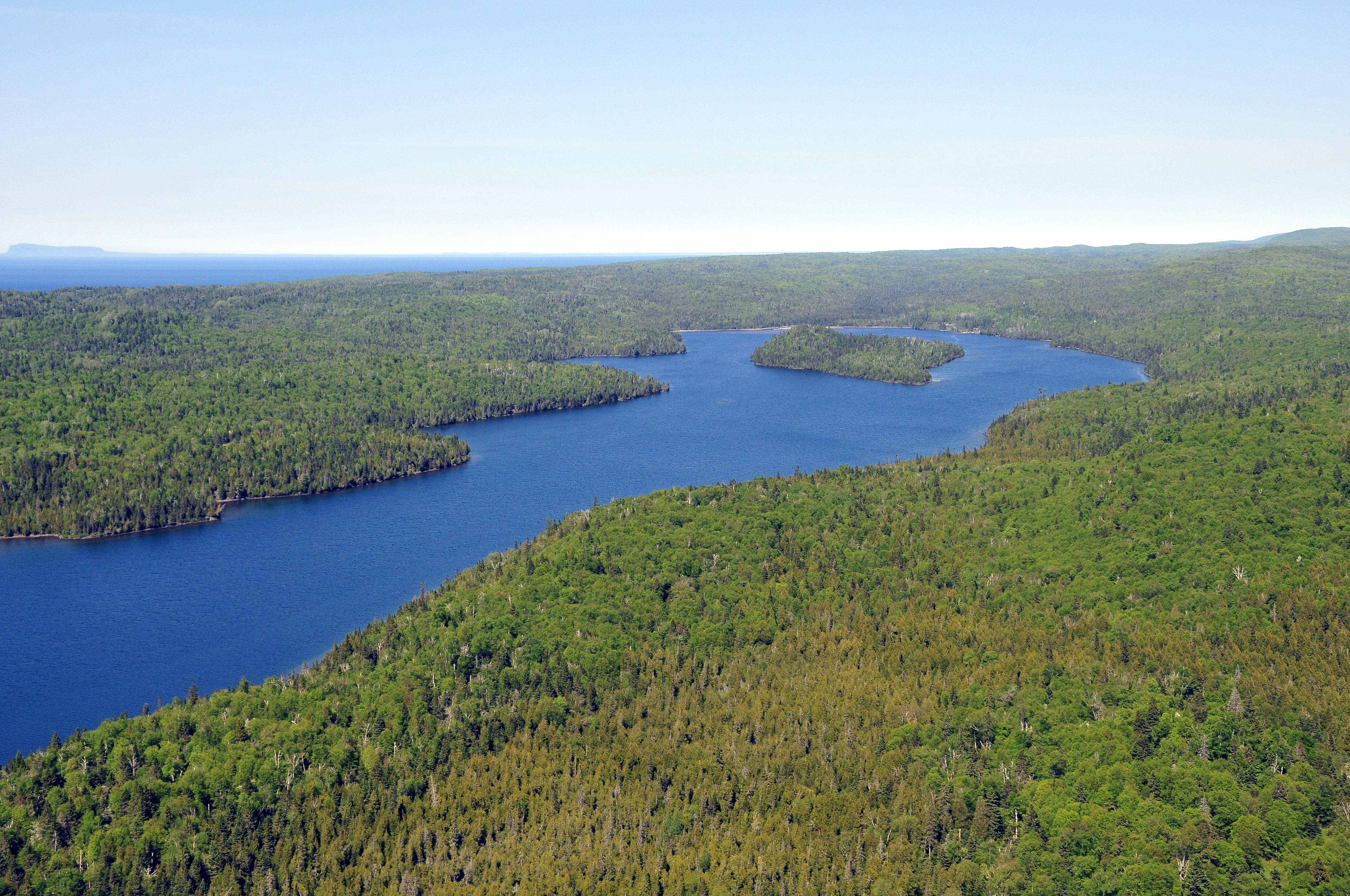
Beaver Island is located in the center of Washington Harbor.
Beaver Island Campground
Located in the center of Washington Harbor, near Windigo. All shelters are water facing. Boats can stay at the dock
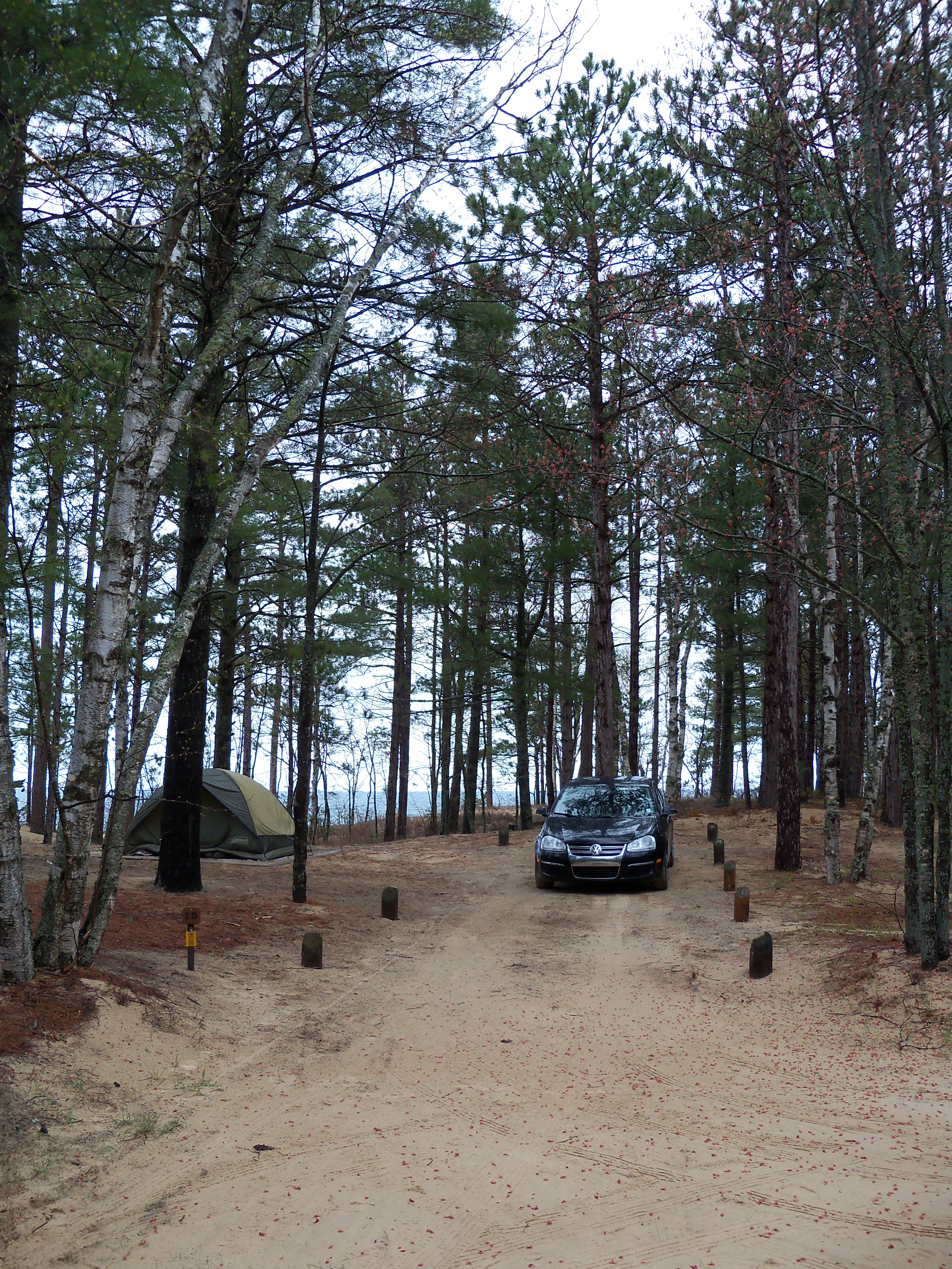
Tent and Car at Twelvemile Beach Campground
Twelvemile Beach Campground
The campground's 36 sites are located on a high sandy plateau above Twelvemile Beach on Lake Superior. Some sites have
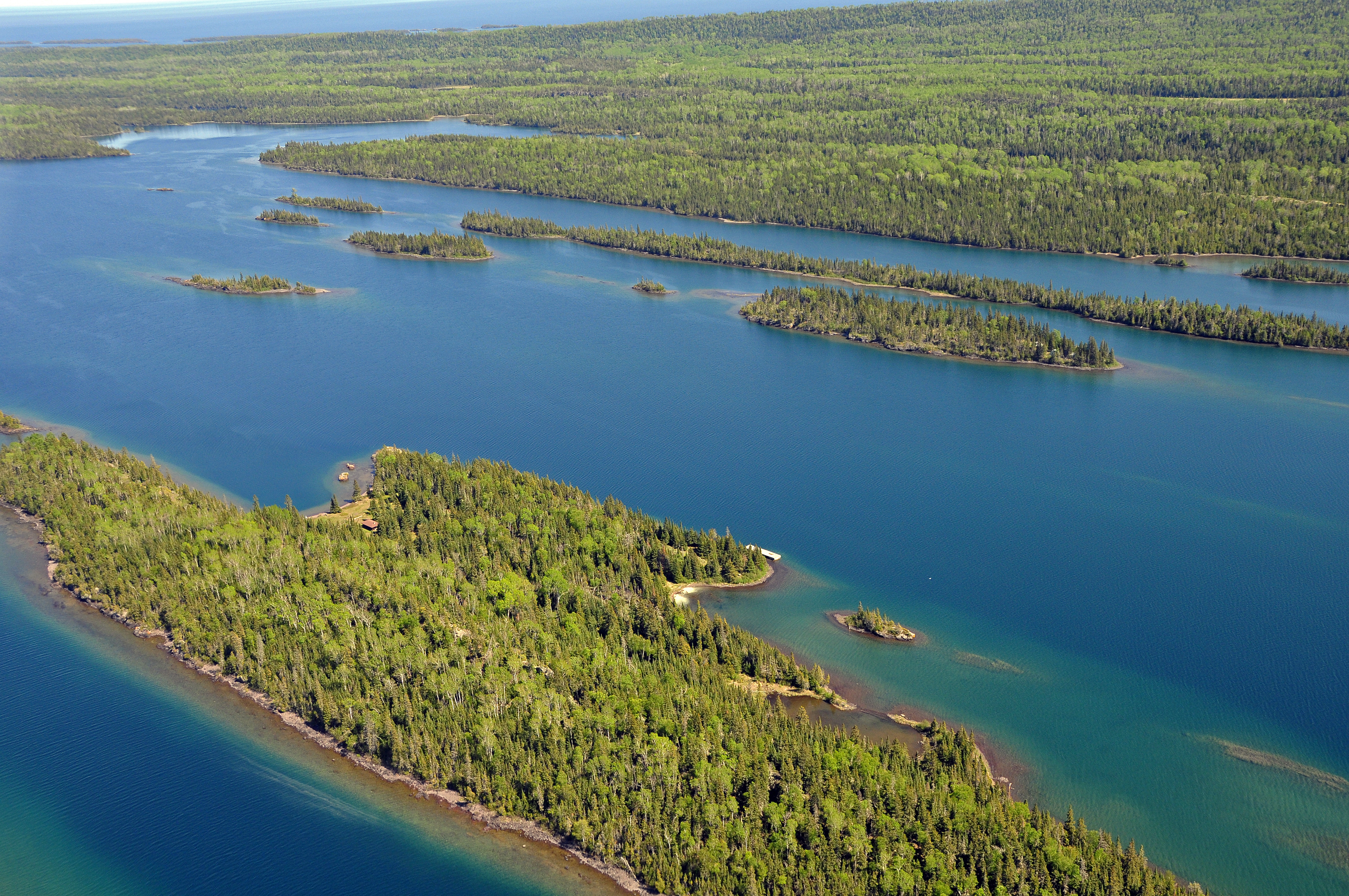
Belle Isle sits off the main island of Isle Royale and offers boaters and paddlers a hub to explore the northeast waterways.
Belle Isle Campground
A campground located on Belle Isle, in Belle Harbor, on the northeast end of Isle Royale National Park. Boats can
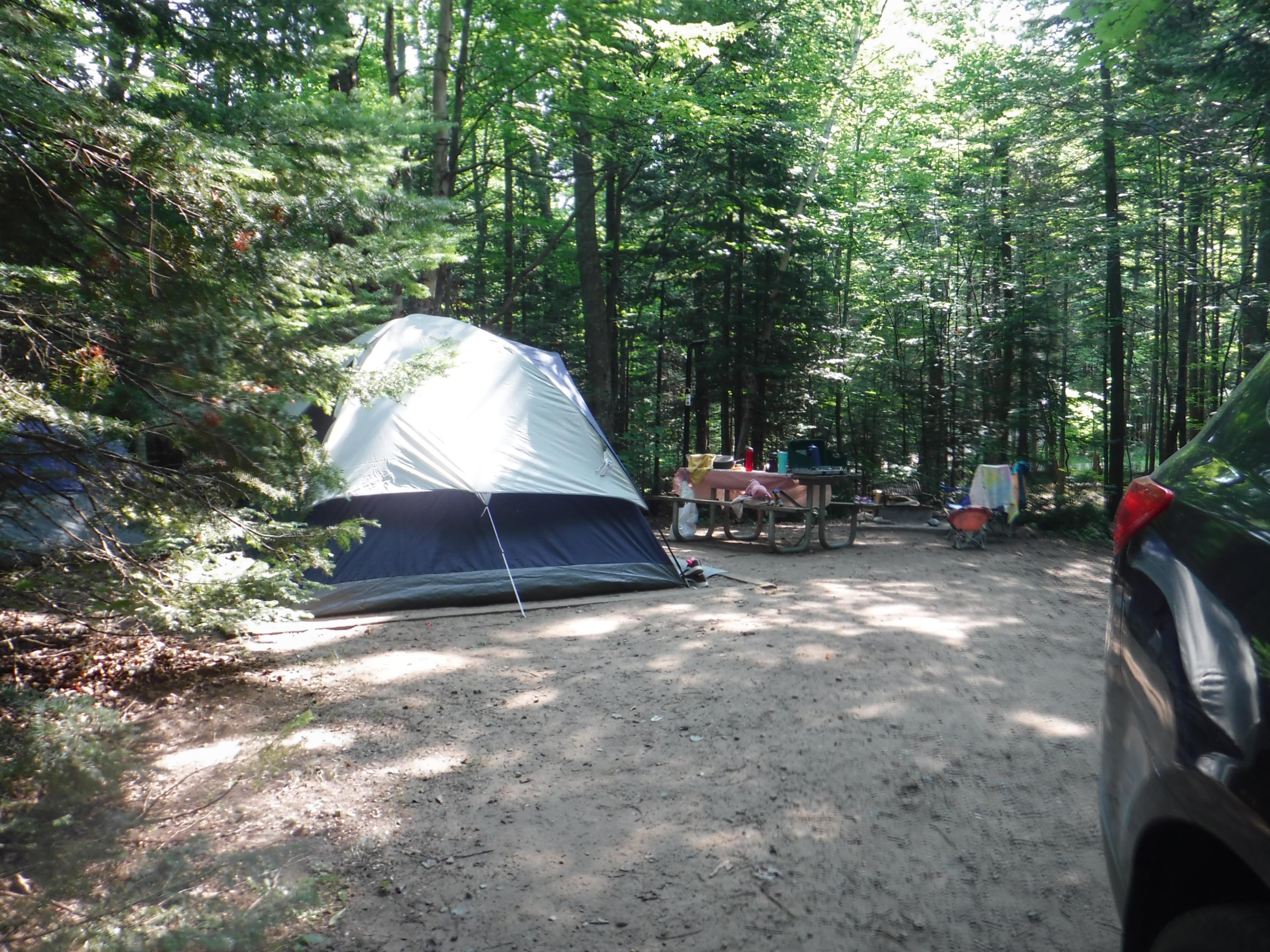
Hurricane River campsite
Hurricane River Campground
There are two loops: 11 campsites in the lower loop and ten in the upper loop. Both loops include one
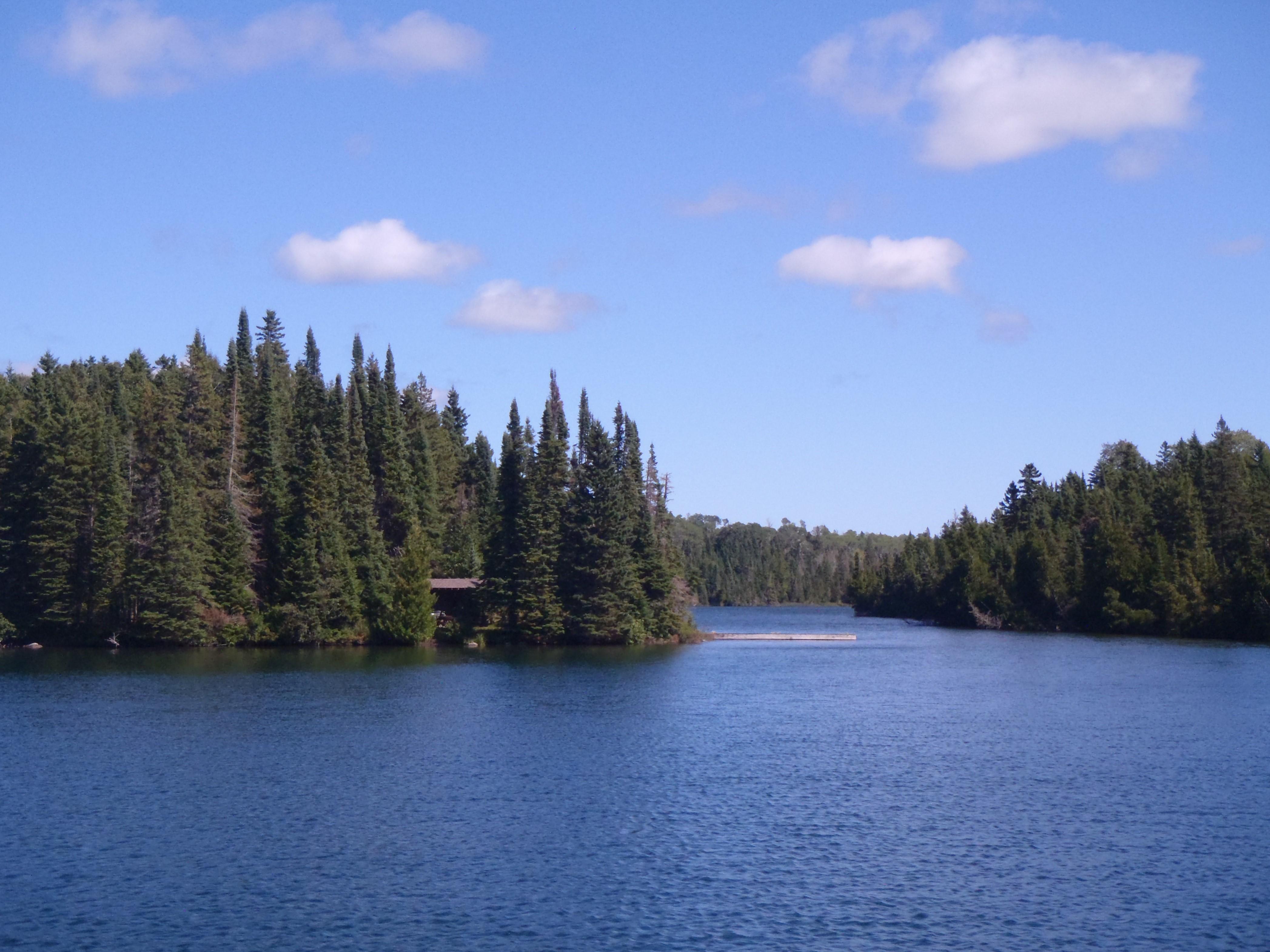
Birch Island Campground from the water.
Birch Island Campground
Small campground on Birch Island, near the mouth of McCargoe Cove, on the north side of Isle Royale National Park.
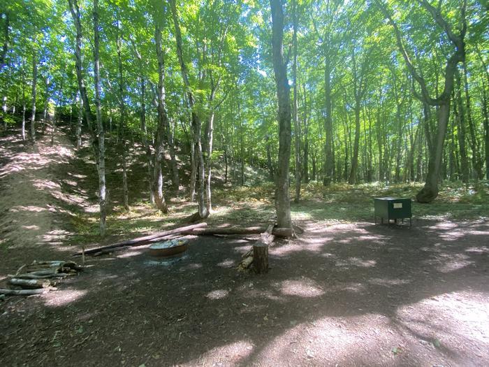
Campsite contains a fire ring and bear box.
Masse Homestead Group Backpacking Site
Masse Homestead Group Campground is to the west of the regular campground. It too is at the base of the
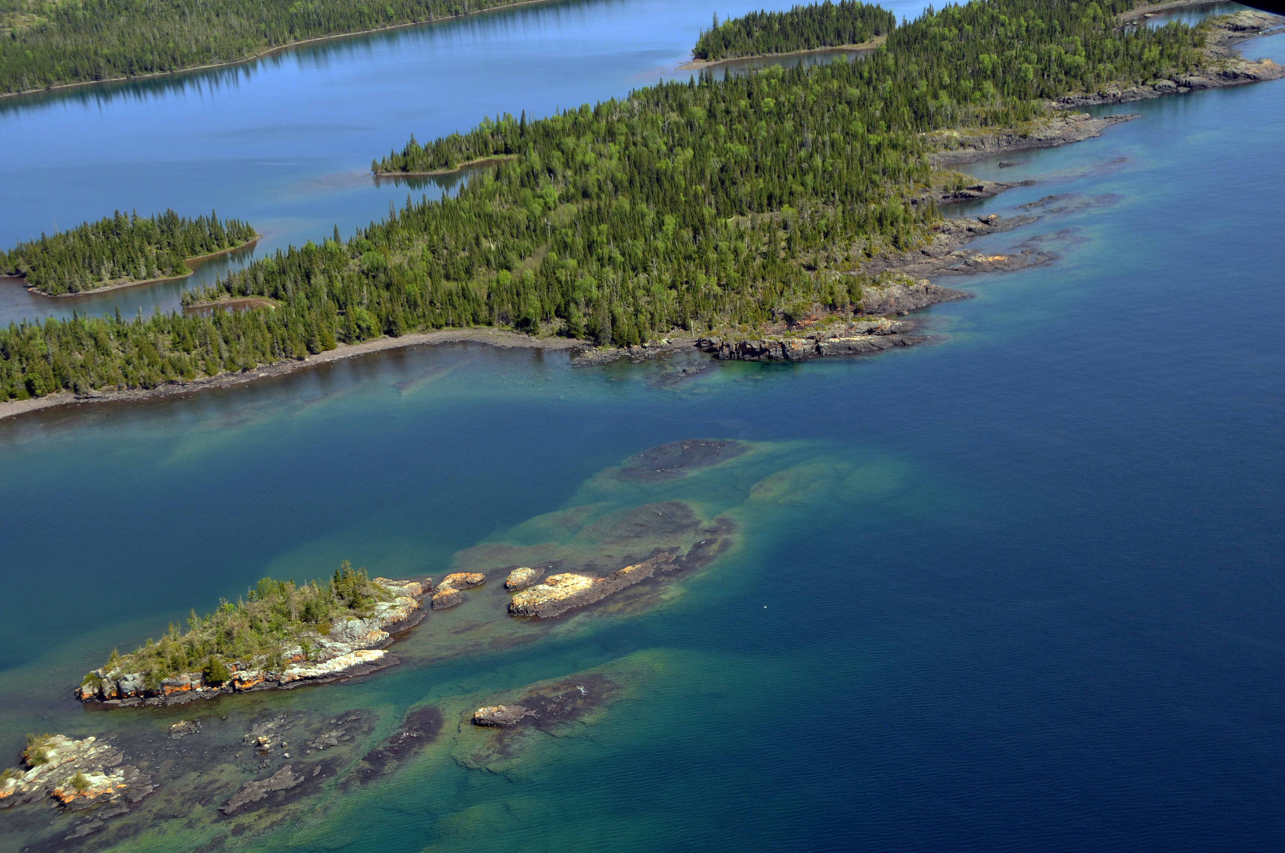
West Caribou Island is a popular campground for boaters.
Caribou Island Campground
Caribou Island Campground is located on the very western tip of West Caribou Island, in Rock Harbor Channel, on the
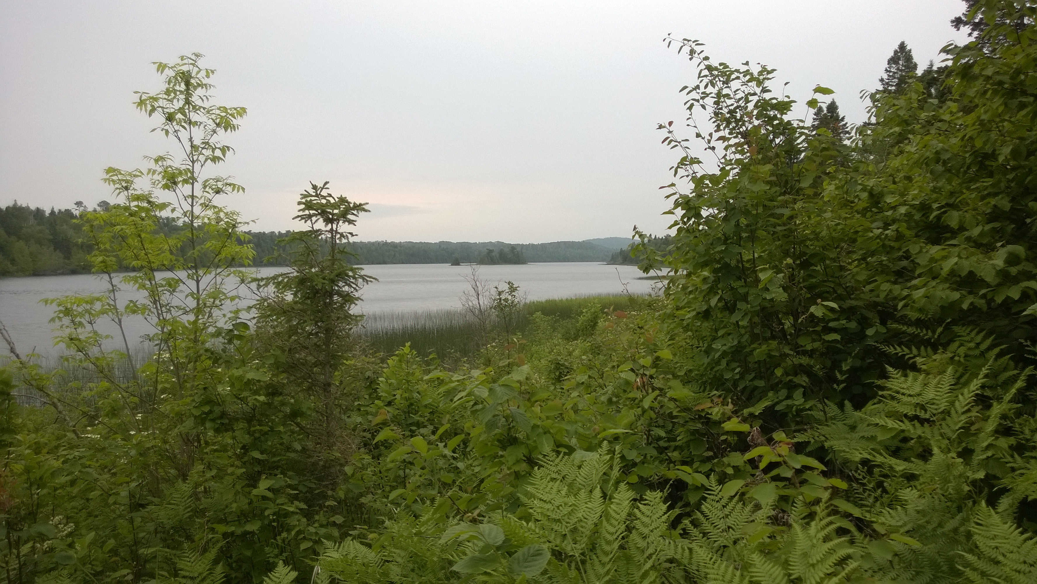
The East Lake Chickenbone Trail travels along Chickenbone Lake for part of the trail.
East Chickenbone Campground
An inland campground located on the east end of Chickenbone Lake, off of the East Chickenbone Trail. No boater access.
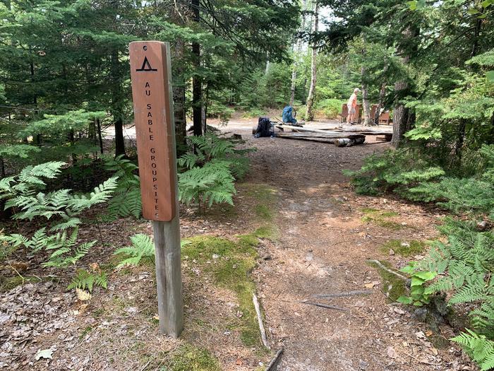
Au Sable Group Site
Au Sable East Group Backpacking Site
Au Sable Point East Group Campground is 0.2 miles west of the Au Sable Light Station and inland from the
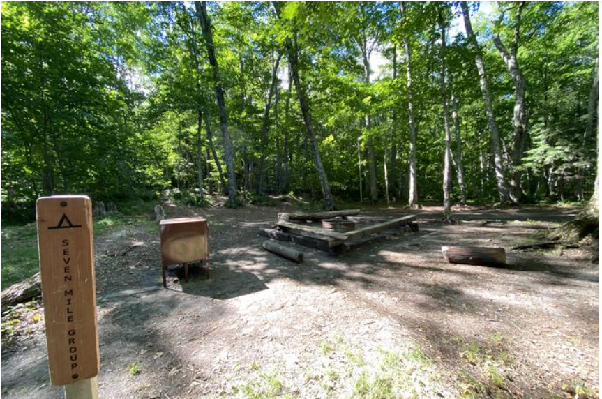
Sevenmile Group Backpacking Site
Sevenmile Creek Group Backpacking Site
Sevenmile Creek Group Campground is on the east side of Sevenmile Creek. The North Country Trail guides you over a
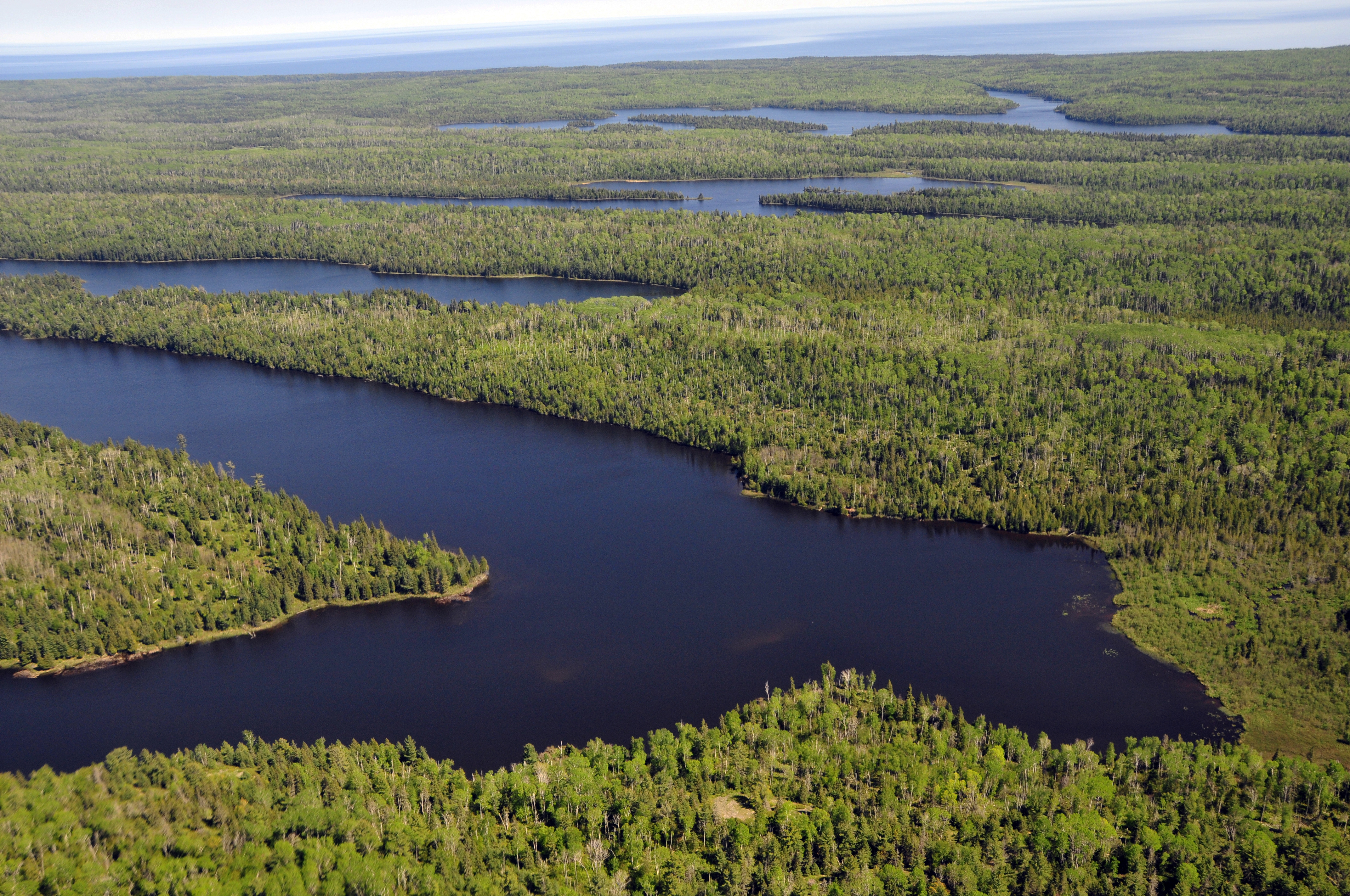
Chickenbone Lake has two campgrounds that are used by many backpackers traveling the Greenstone Ridge Trail.
West Chickenbone Campground
West Chickenbone Campground is located on the west end of Chickenbone Lake, off of the Indian Portage Trail This inland
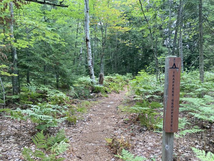
Sign for Trappers Group Site.
Trappers Lake Group Backpacking Site
Trappers Lake Group Campground is a little over a mile inland from the North Country Trail and 0.2 miles east
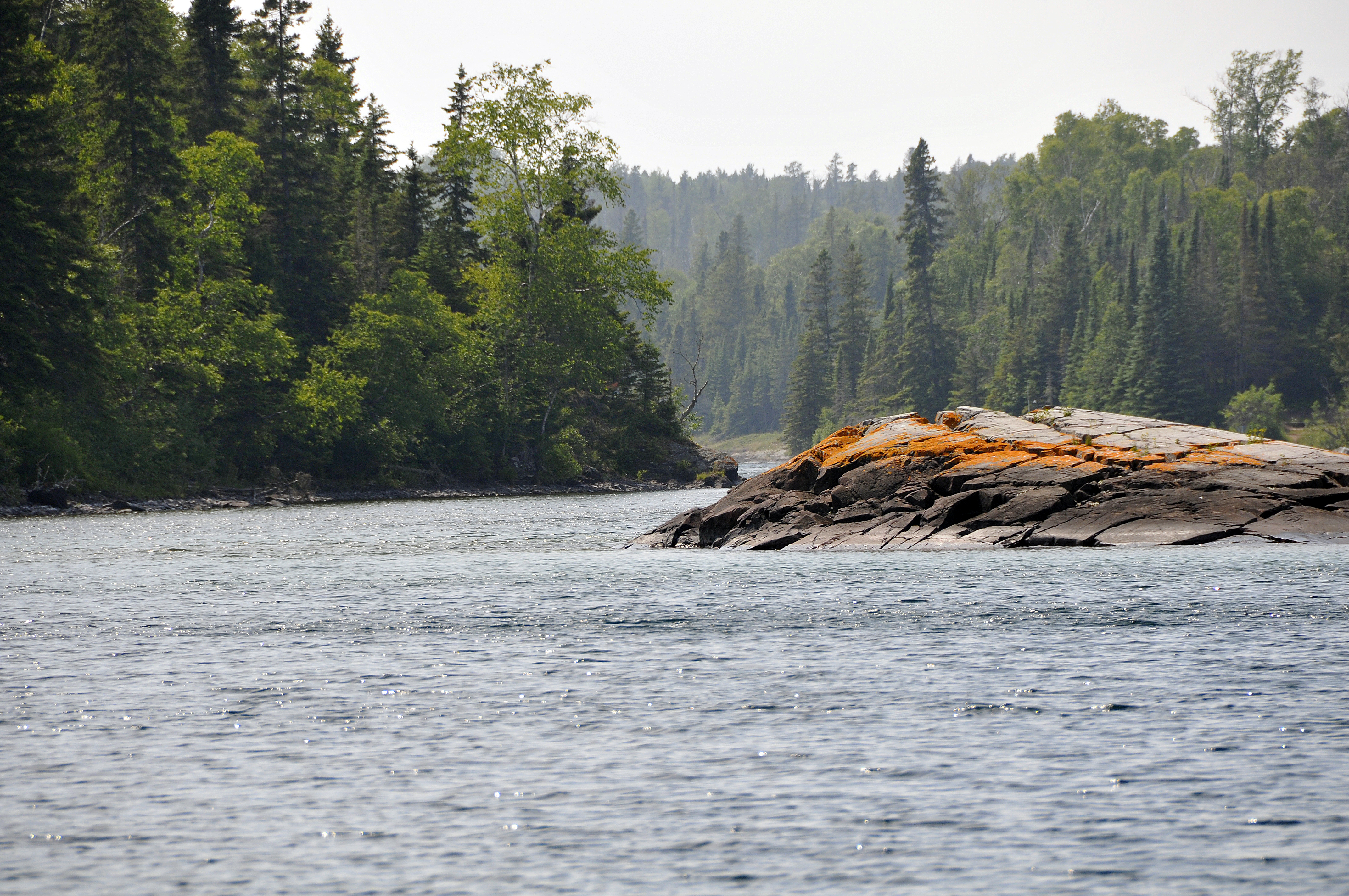
The entrance to Chippewa Harbor is located on the south shore of Isle Royale National Park.
Chippewa Harbor Campground
Chippewa Harbor Campground is located in Chippewa Harbor, on the south shore of Isle Royale National Park. Trail access is
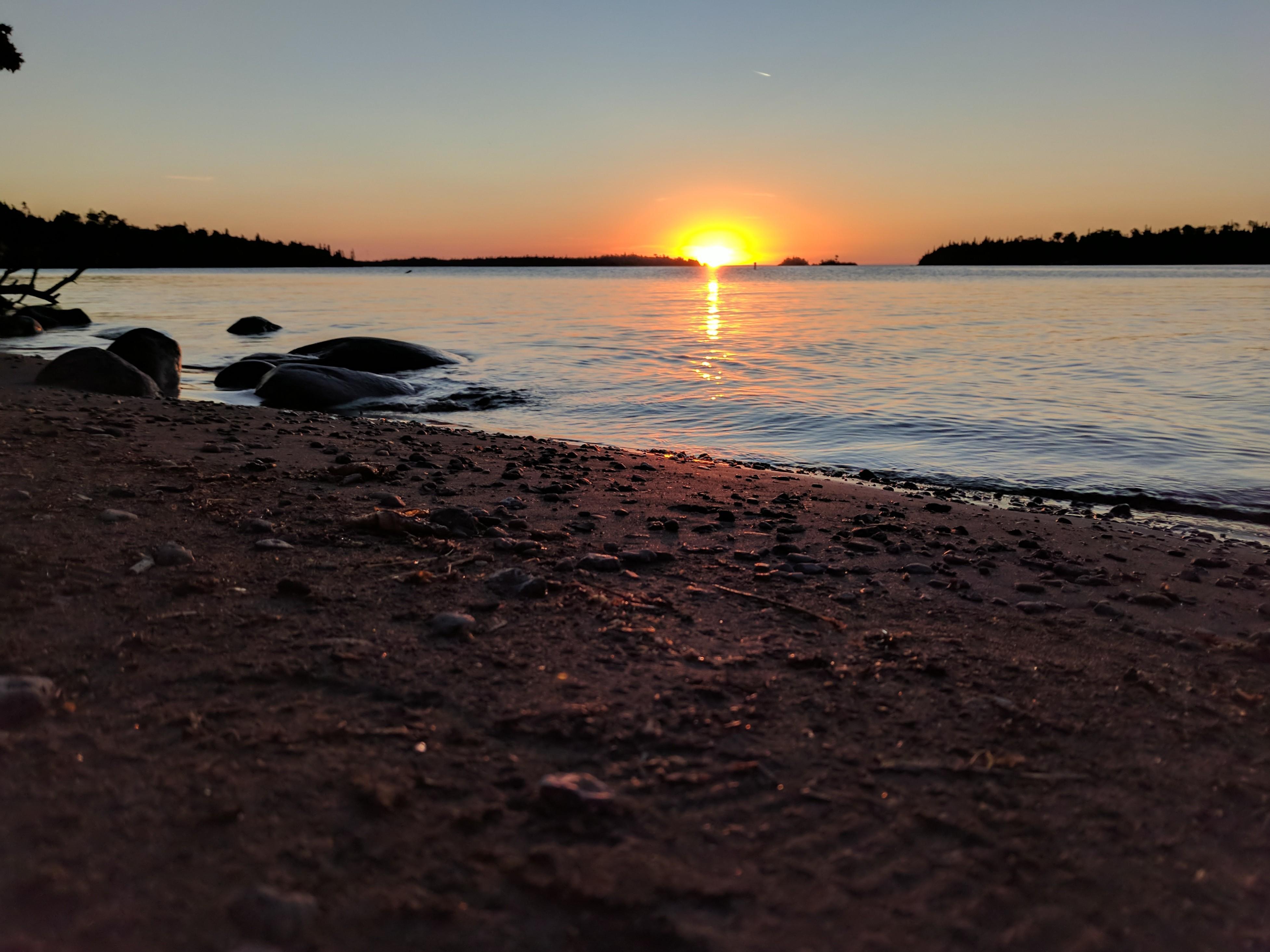
Sunrise on the beach at Daisy Farm Campground
Daisy Farm Campground
Isle Royale's largest campground is located at Daisy Farm, in Rock Harbor Channel, off of the Rock Harbor Trail, Daisy
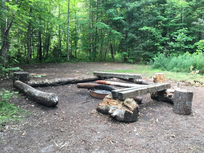
Fire ring with log benches at Lowney Creek Site.
Lowney Creek Group Backpacking Site
Lowney Creek Group Campground is one mile from Little Beaver Lake Campground and 2.5 miles inland from Lake Superior. Lowney
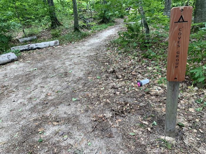
Sign for Coves Group Site.
Coves Group Backpacking Site
Coves Group Campground is three miles east of Chapel Beach. You are still up on the cliff line, but have
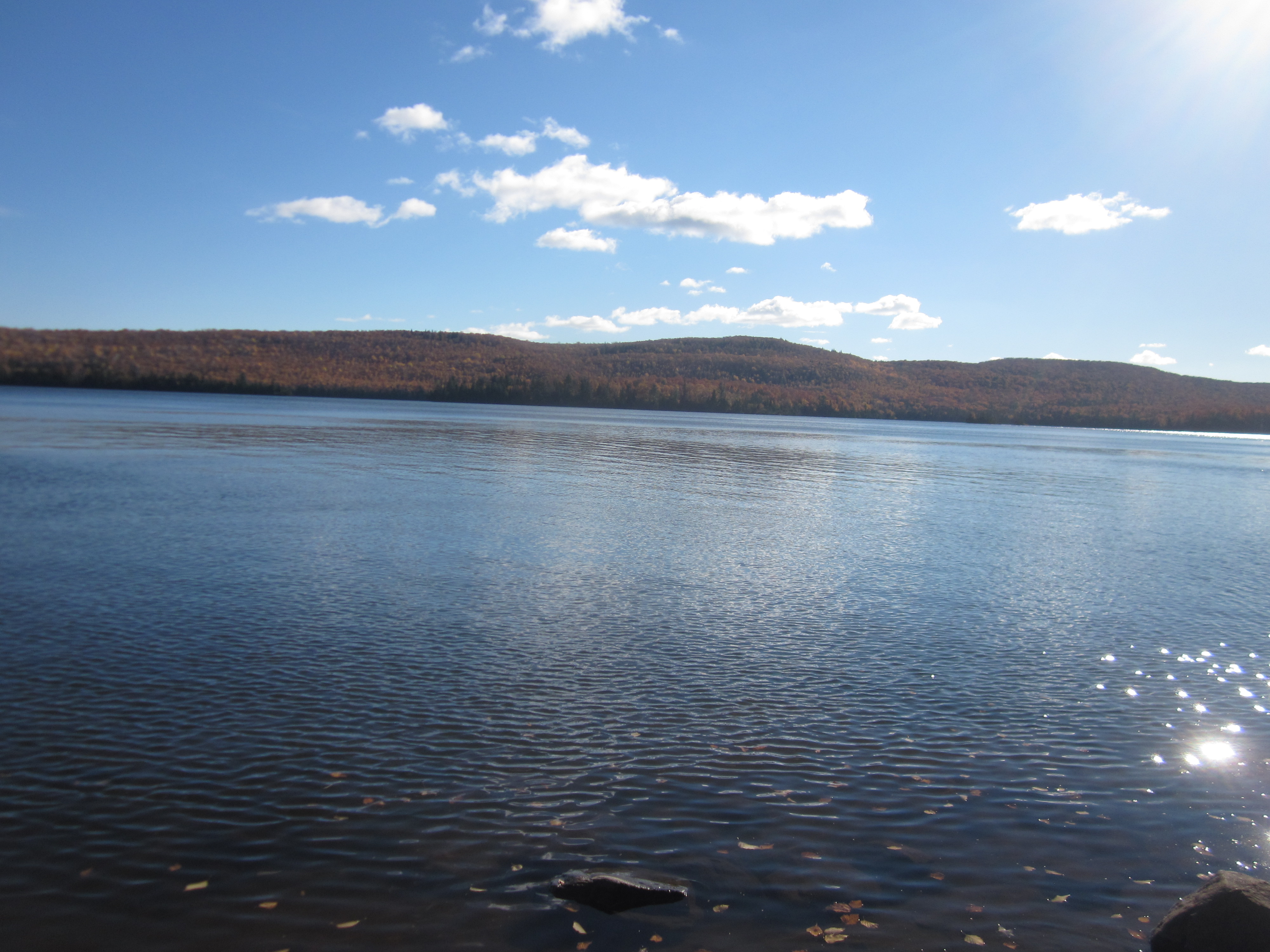
Lake Desor is Isle Royale National Park's second largest inland lake.
North Desor Campground
North Desor Campground is located on the north side of Lake Desor off of the Minong Ridge Trail. There is
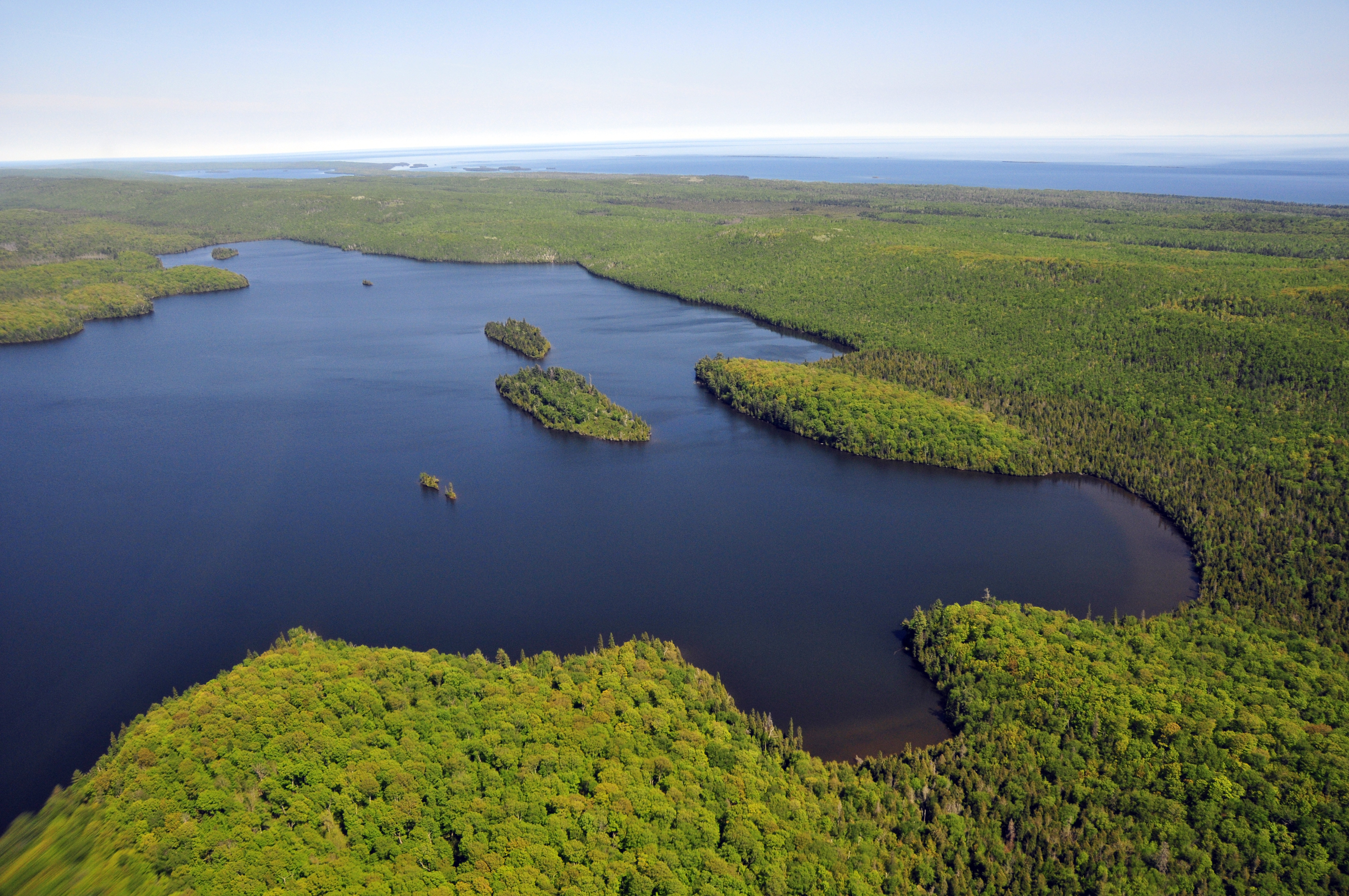
Lake Desor is the second largest inland lake at Isle Royale National Park.
South Lake Desor Campground
South Lake Desor Campground is located inland on the south side of Lake Desor off of the Greenstone Ridge Trail.
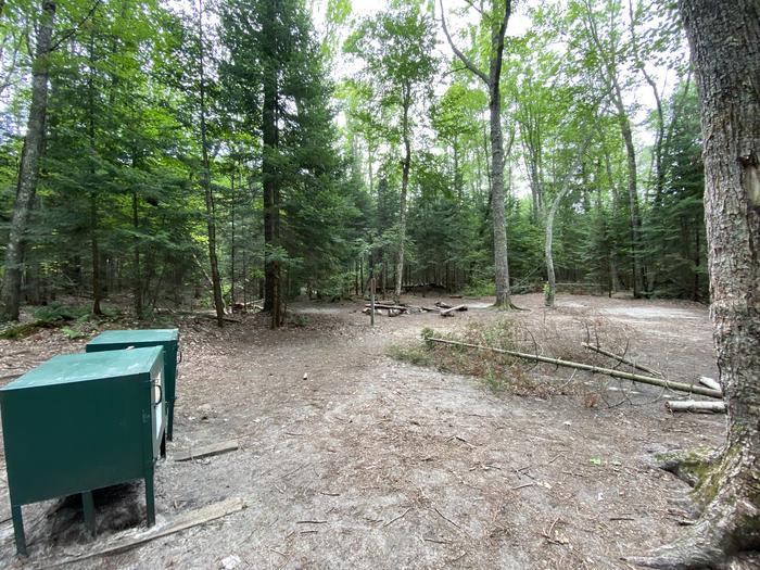
Mosquito Group Site.
Mosquito River Group Backpacking Site
Mosquito River Group Campground is on the west side of Mosquito River just a few steps away from the North
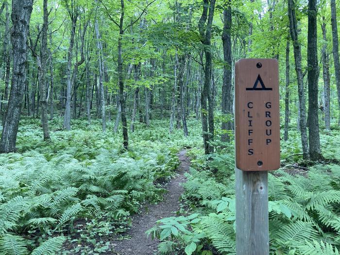
This is the sign you will see on the North Country Trail to mark the turnoff to the Cliffs Group Campsite.
Cliffs Group Backpacking Site
Cliffs Group Campground is one mile east of Cliffs Campground. It lies high above Lake Superior and inland from the
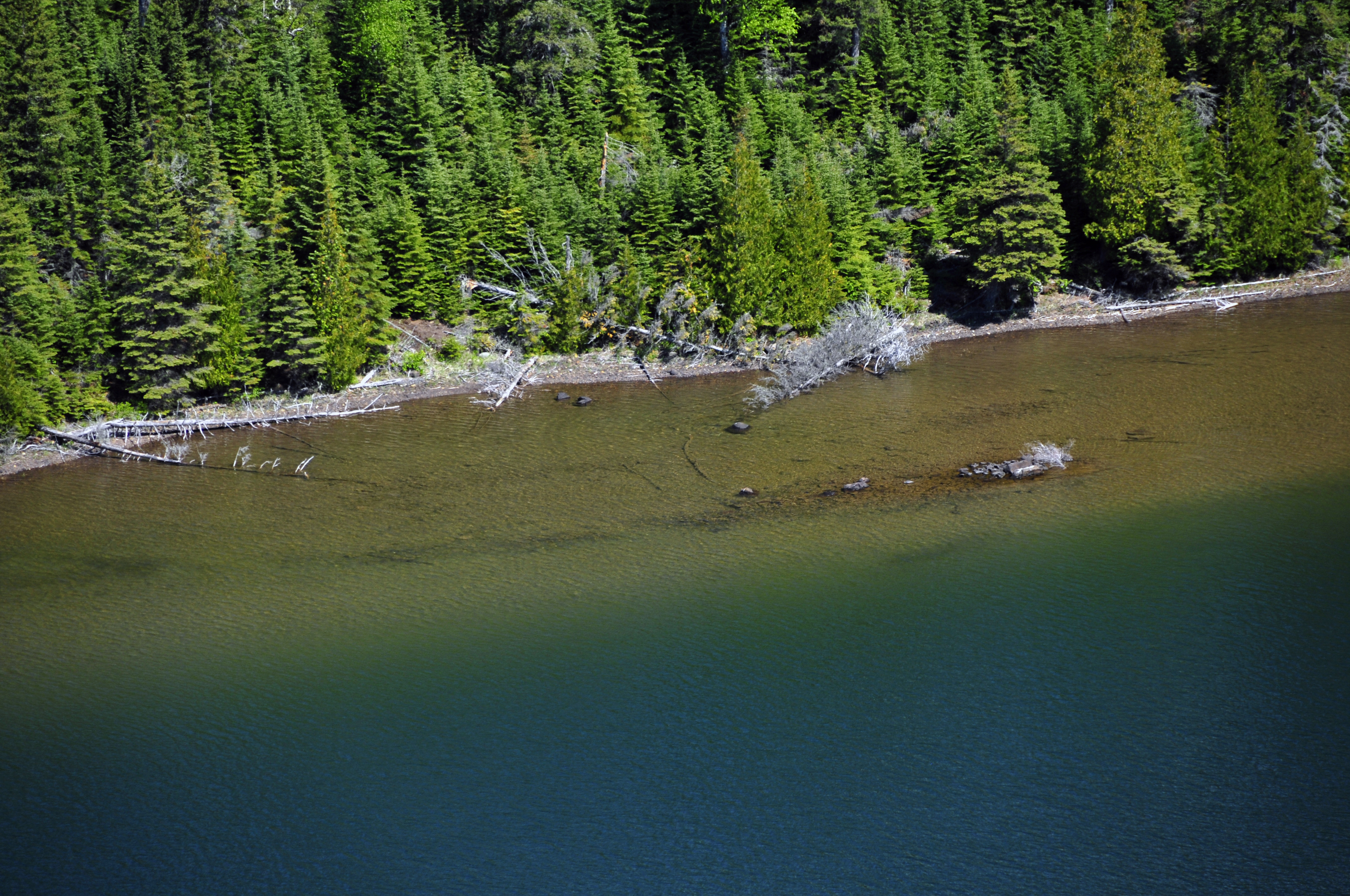
Duncan Bay is a popular haven for boaters and paddlers.
Duncan Bay Campground
Duncan Bay Campground is located on the west end of Duncan Bay, on the northeast end of Isle Royale National
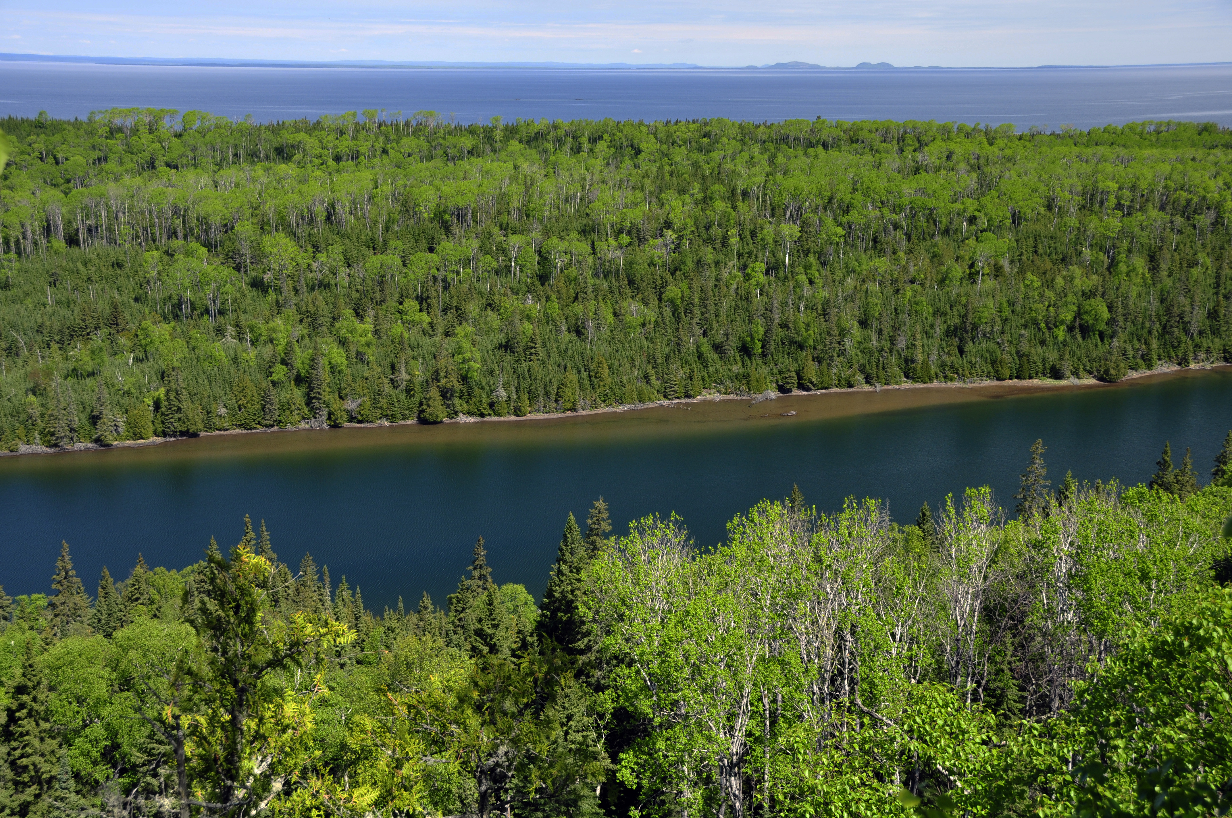
Duncan Bay Narrows is popular locale for boaters and paddlers in the park.
Duncan Narrows Campground
Duncan Narrows Campground is located in the narrows of Duncan Bay on the northeast end of Isle Royale National Park.
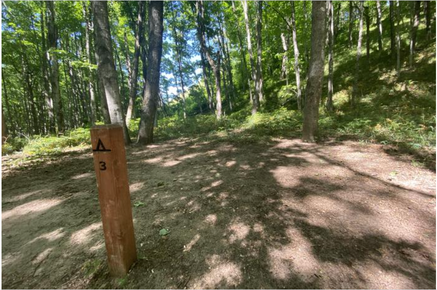
Masse Homestead Site 3
Masse Homestead Individual Backpacking Sites
Masse Homestead Campground is at the base of the dunes (south side) and sheltered due to the thick forest canopy.
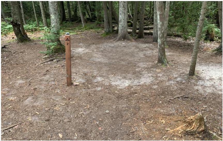
AuSable East Site 2.
Au Sable East Individual Backpacking Sites
Au Sable Point East Campground is next to the Au Sable Point East Group Campground. Due to the dense forest,
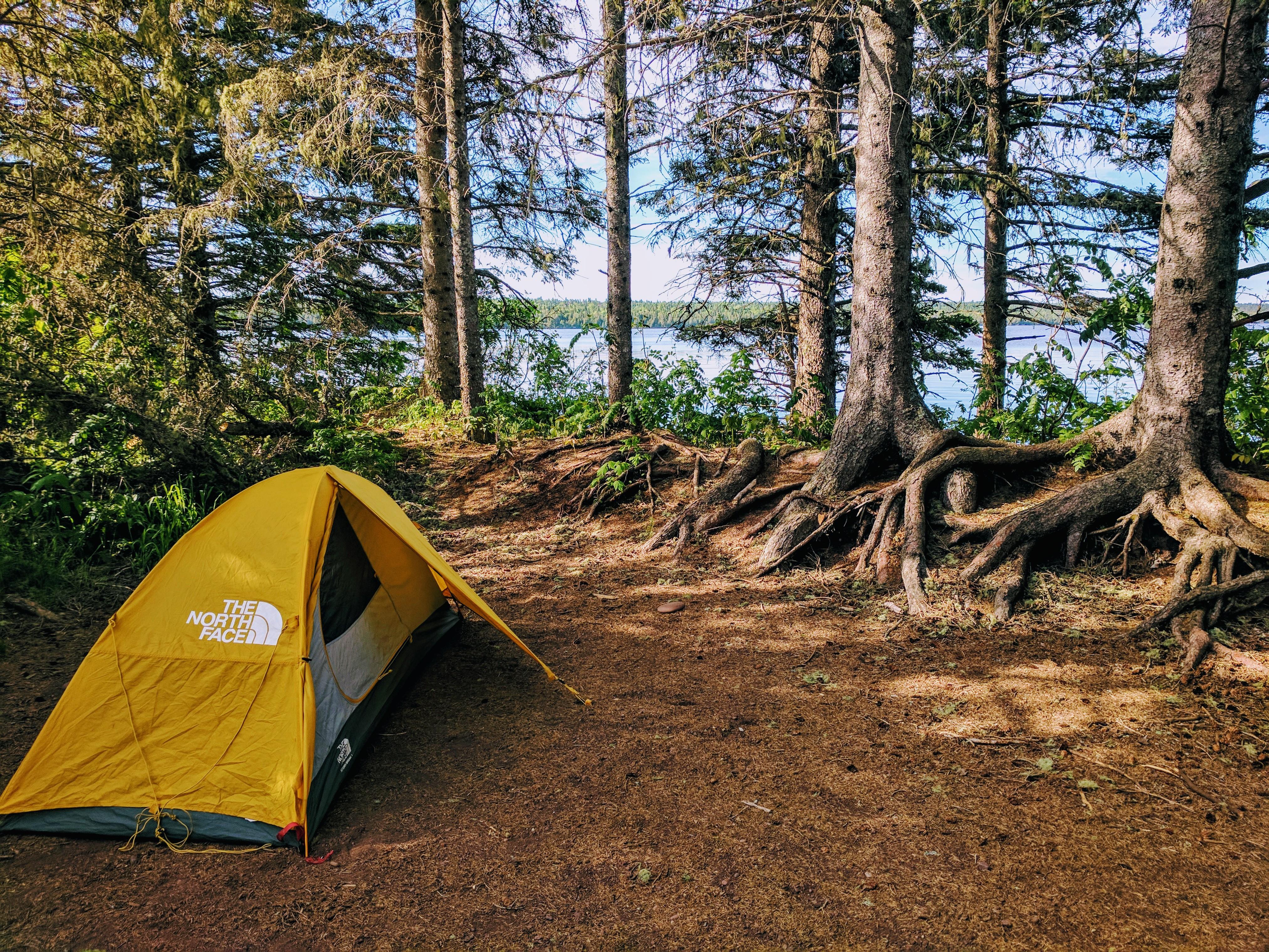
Feldtmann Lake Campground awaits off the typical Isle Royale backpacking routes.
Feldtmann Lake Campground
Feldtmann Lake Campground is located on the shoreline of Feldtmann Lake, off the Feldtmann Lake and Feldtmann Ridge Trails, on
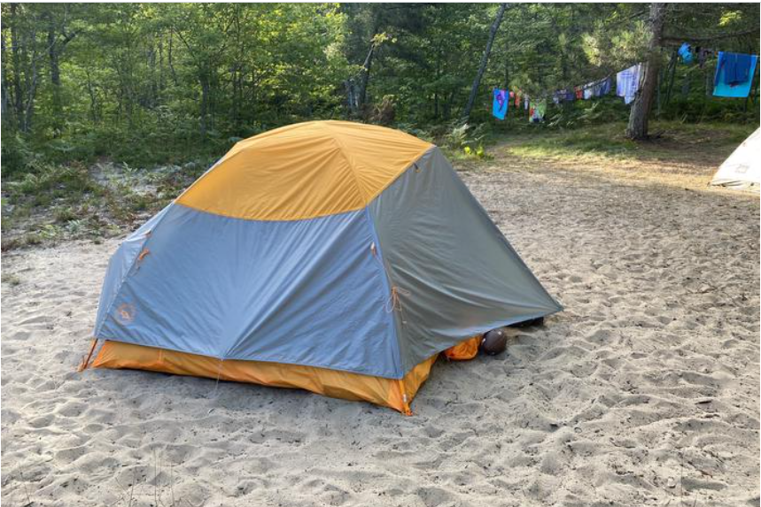
Benchmark Site 1
Benchmark Individual Backpacking Sites
Benchmark Campground is on a sandy bluff above Lake Superior. The six campsites are sandy and open. There are social

Grace Island is a very popular campground for boaters.
Grace Island Campground
Grace Island Campground is located on Grace Island, outside of Washington Harbor, on the southwest end of Isle Royale National
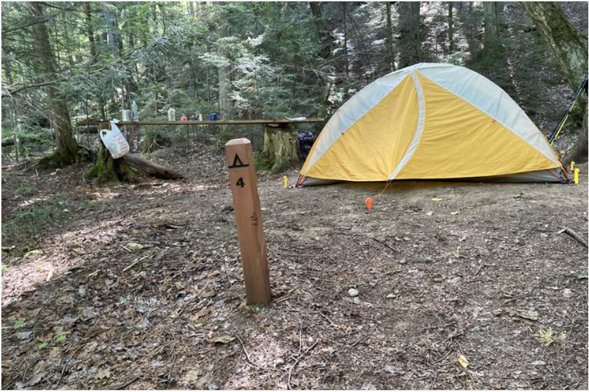
Sevenmile Creek Site 4
Sevenmile Creek Individual Backpacking Sites
Sevenmile Creek Campground is on the west bank of Sevenmile Creek. The North Country Trail wanders through the campground and
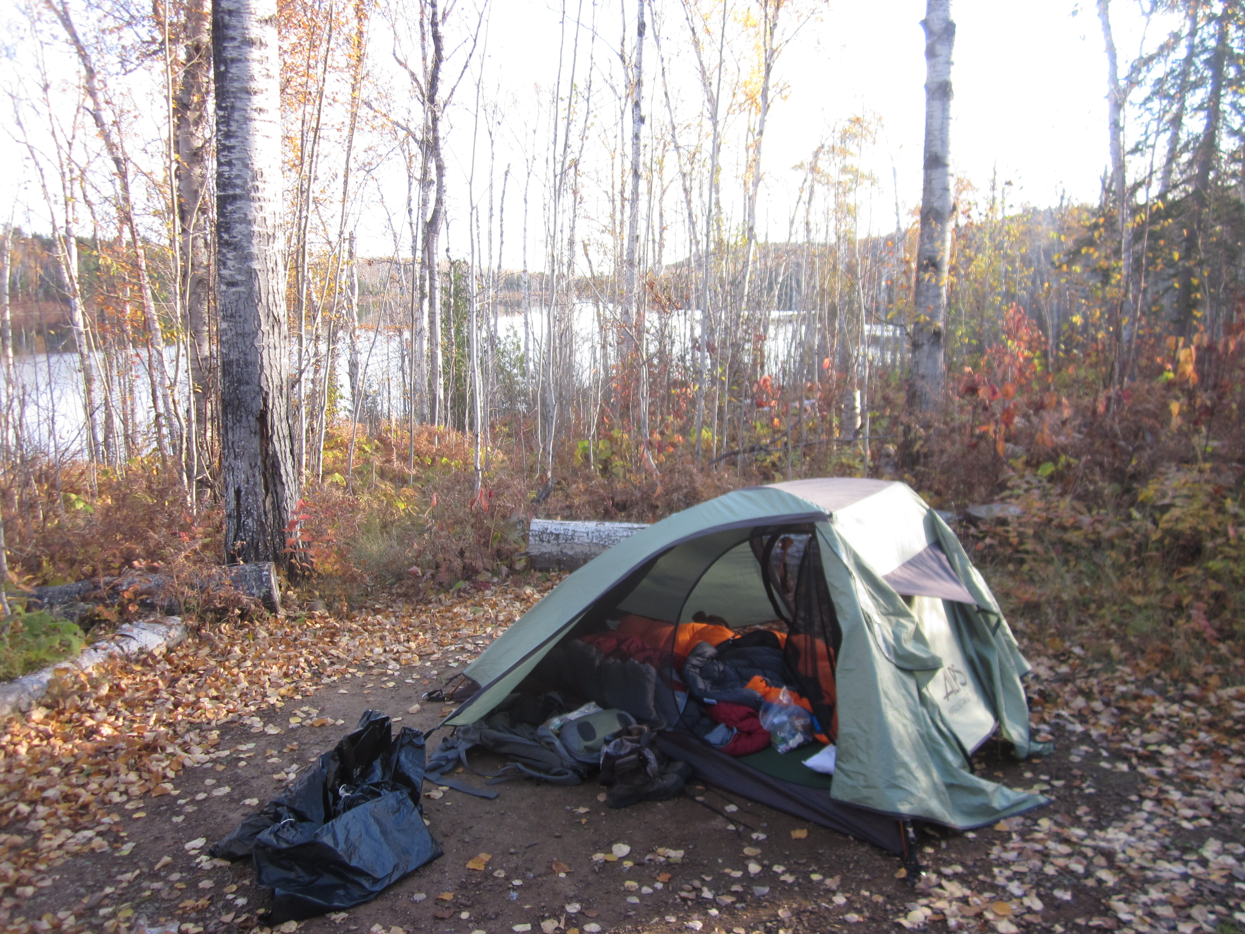
Hatchet Lake Campground is a popular stop for backpackers along the Greenstone Ridge Trail.
Hatchet Lake Campground
Hatchet Lake Campground is located on Hatchet Lake off of the Hatchet Lake Trail. This campground is located near the
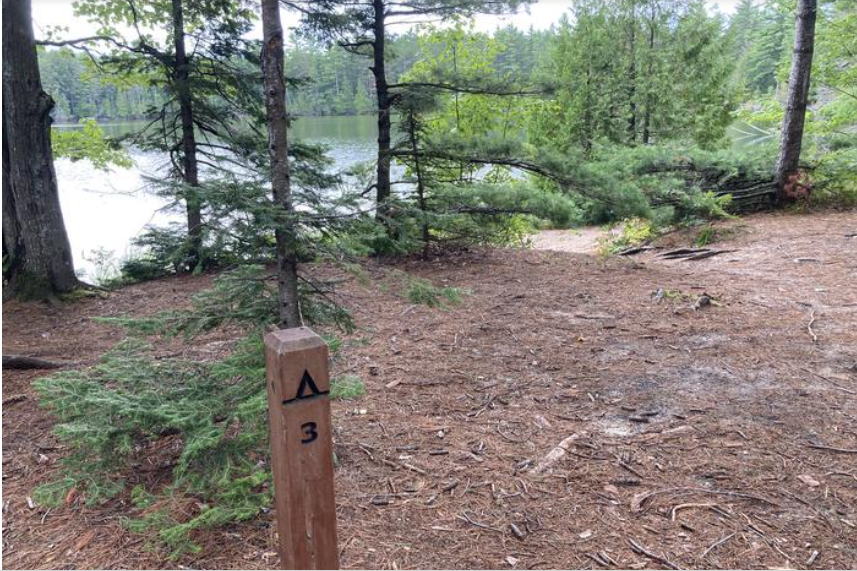
Trappers Lake Site 3
Trappers Lake Individual Backpacking Sites
Trappers Lake Campground is in the heart of the Beaver Basin Wilderness. The five campsites are on the north shore
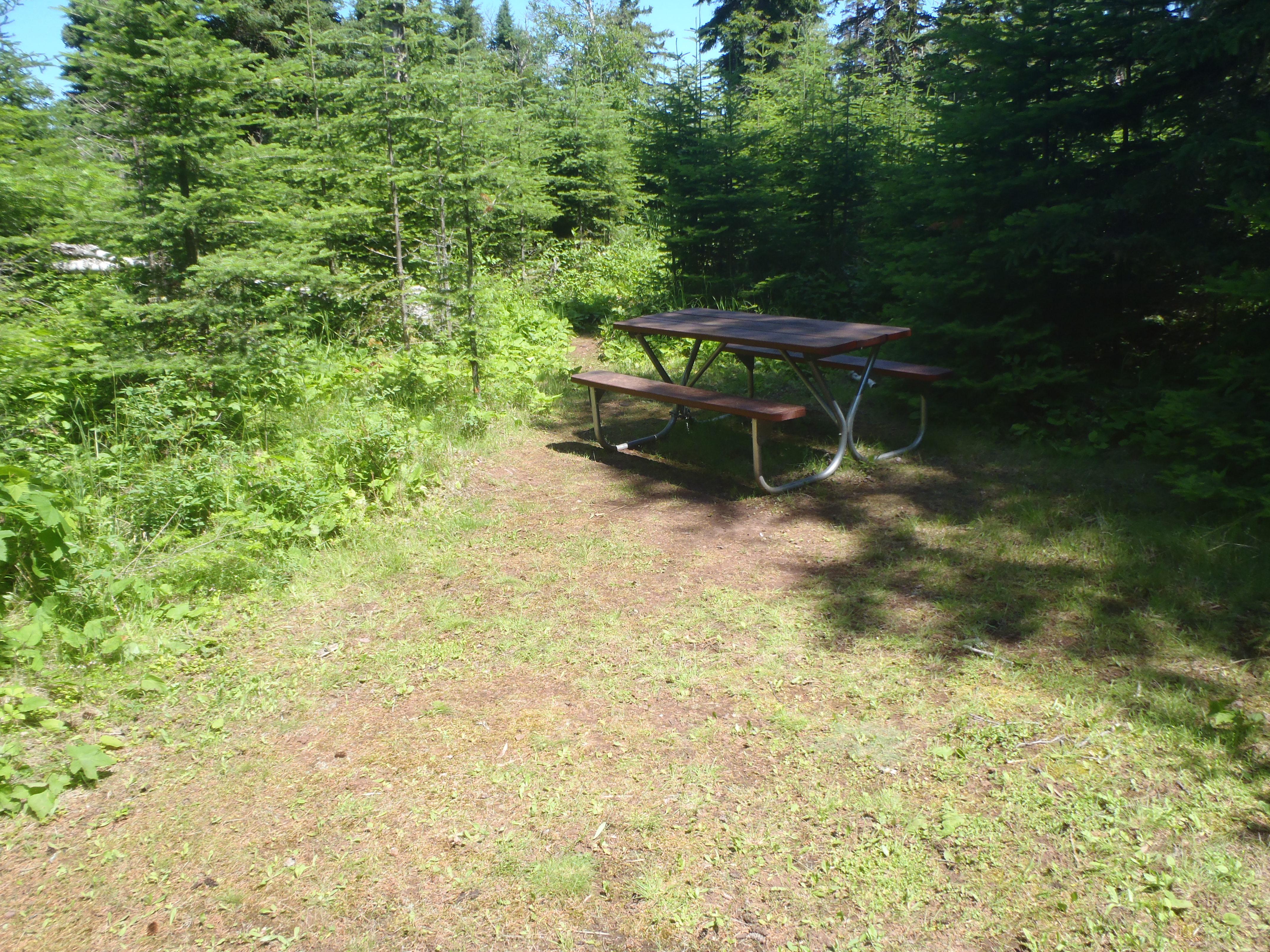
Hay Bay is a popular boater campground and dock.
Hay Bay Campground
Hay Bay Campground is located in Hay Bay on the south shore of Isle Royale National Park. Boats can overnight
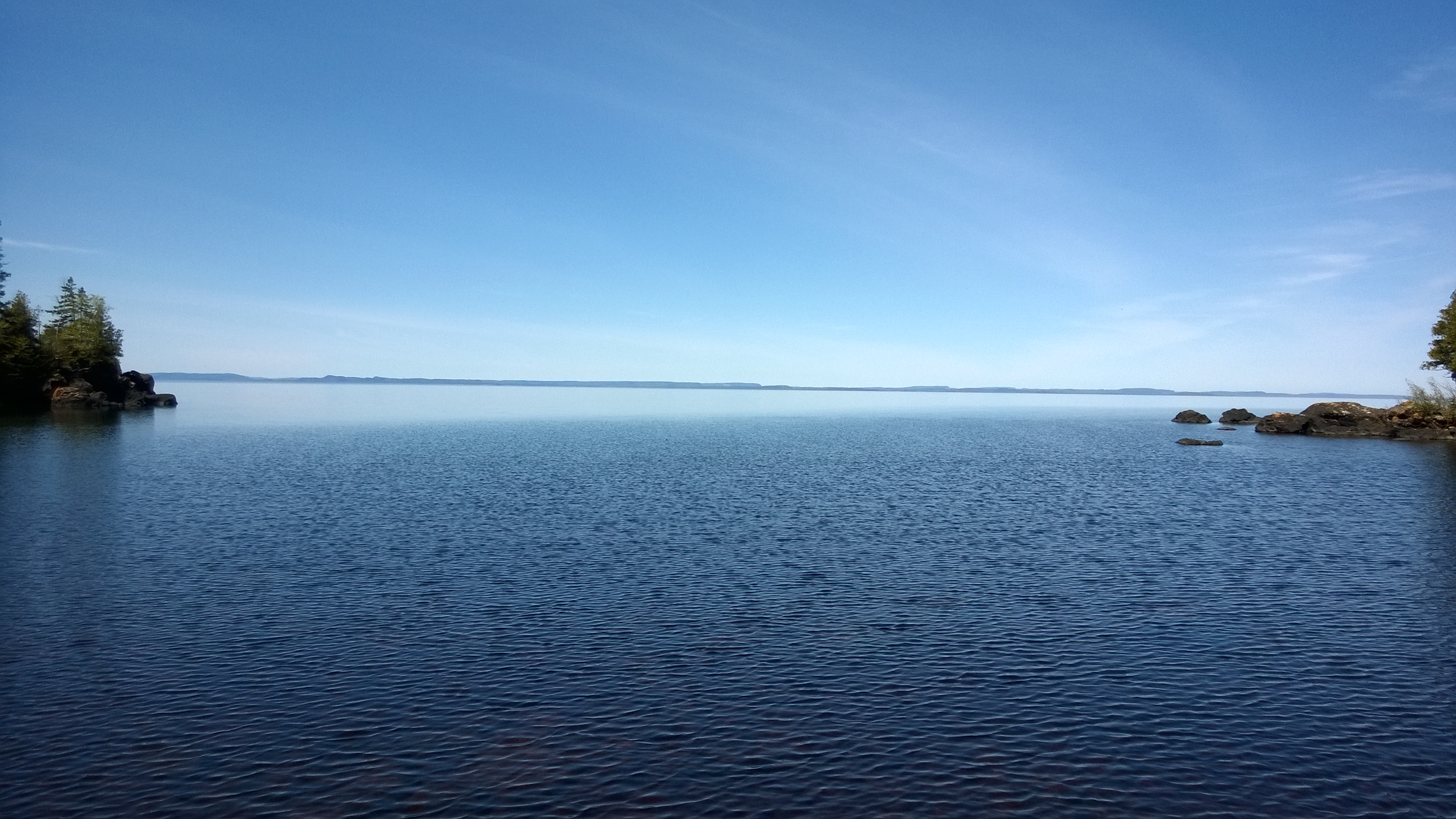
Hugunnin Cove Campground is a quaint location to camp on the north shore of Isle Royale National Park.
Huginnin Cove Campground
Huginnin Cove Campground is located at Huginnin Cove, on the north shore of Isle Royale National Park, off of the
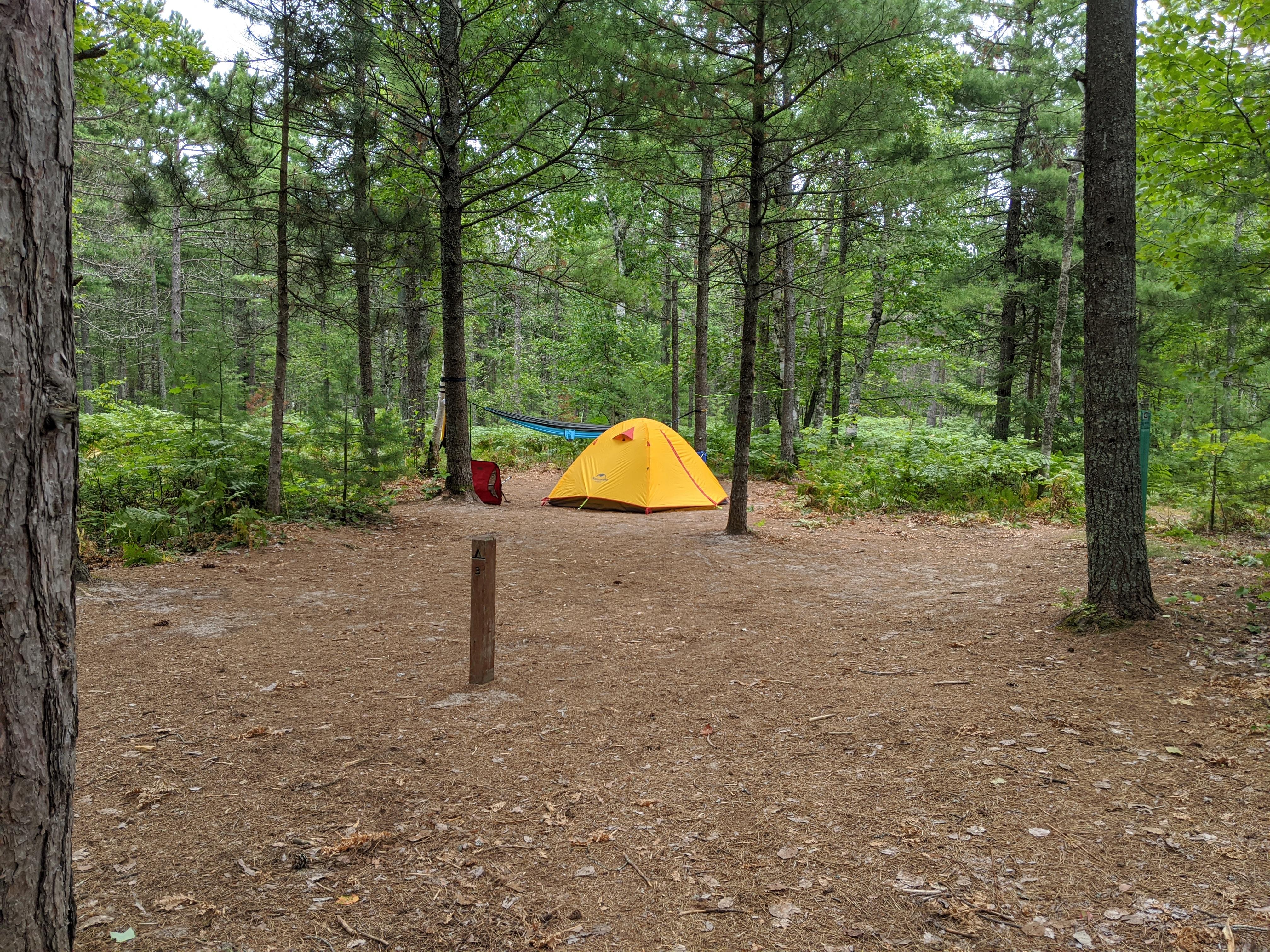
Pine Bluff Backpacking Site
Pine Bluff Individual Backpacking Sites
Pine Bluff sites are on a sandy bluff above Lake Superior just off the North Country Trail. The five campsites
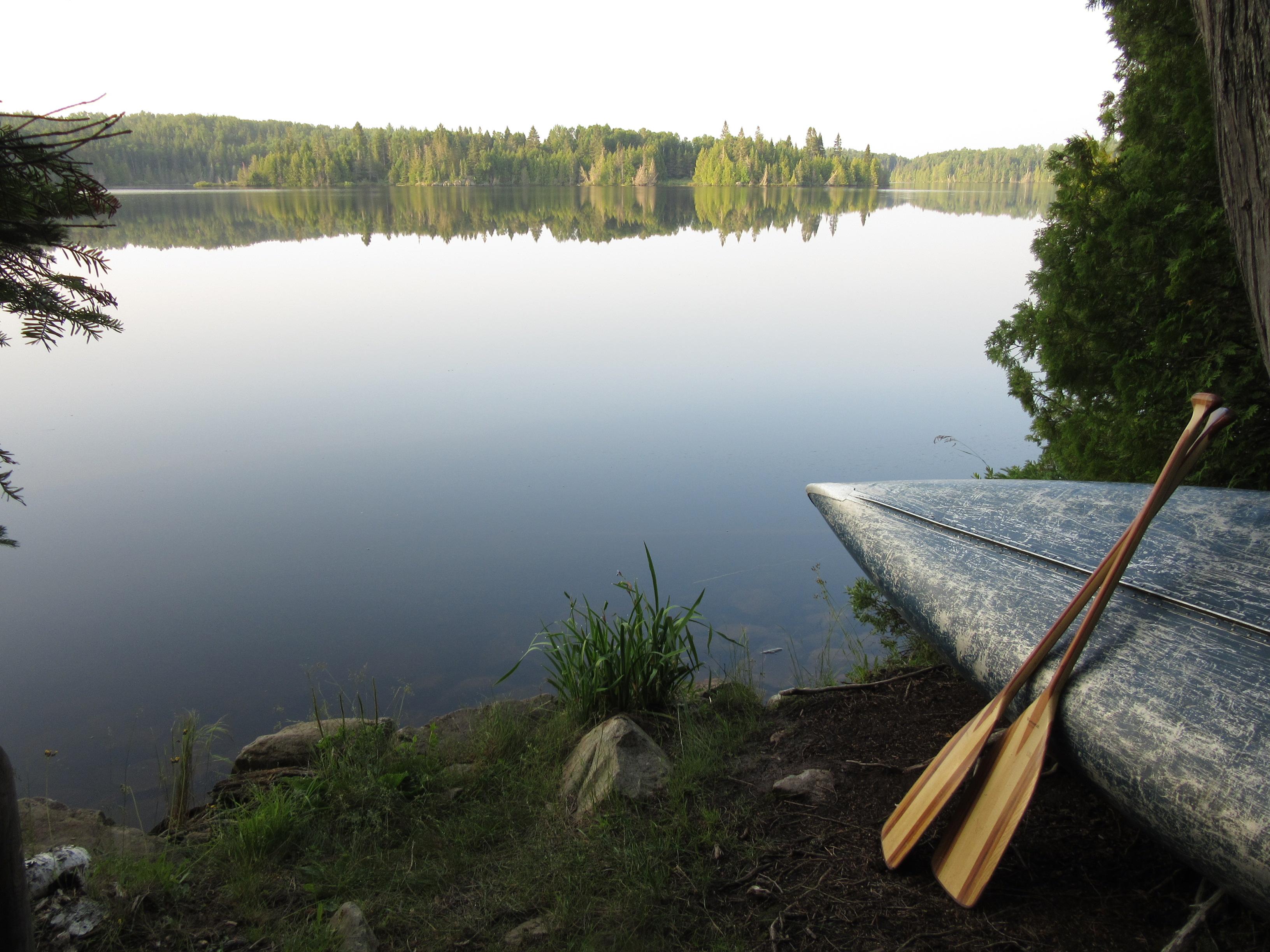
Intermediate Lake is a small lake between Lake Richie and Siskiwit Lake
Intermediate Lake Campground
Intermediate Lake Campground is located on the shoreline of Intermediate Lake. Intermediate Lake can be accessed via a .6 mile
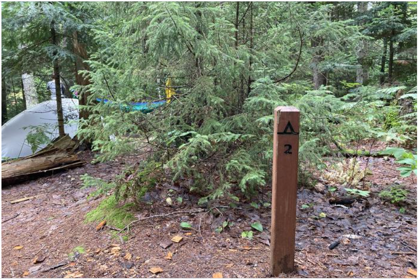
Chapel Beach Site 2
Chapel Individual Backpacking Sites
Chapel Beach Campground sits on the sand bluff above Chapel Beach and Lake Superior. Chapel Beach is a popular day
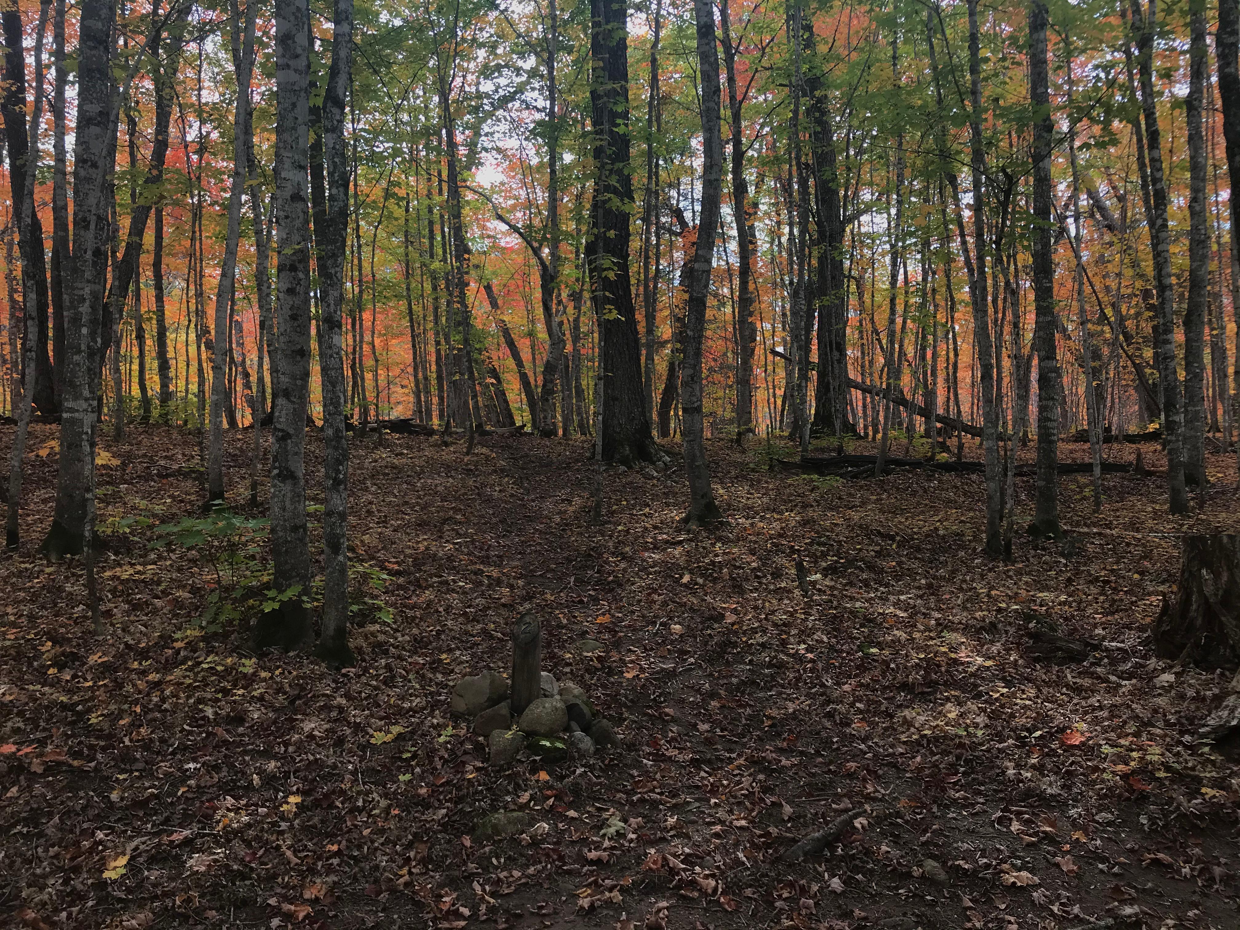
Island Mine Campground has a small stream that provides water except in hot, dry summers.
Island Mine Campground
Island Mine Campground is located .5 miles south from the junction of the Greenstone and Island Mine Trails, on the
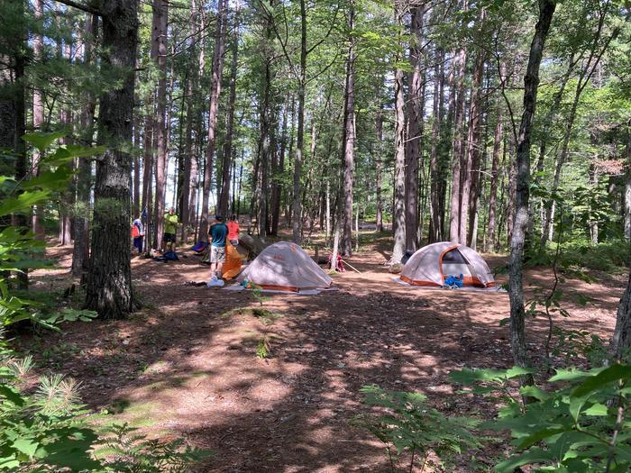
Beaver Creek Site 3
Beaver Creek Individual Backpacking Sites
Beaver Creek Campground is on the bluff above Lake Superior and Beaver Creek in the Beaver Basin Wilderness. The six
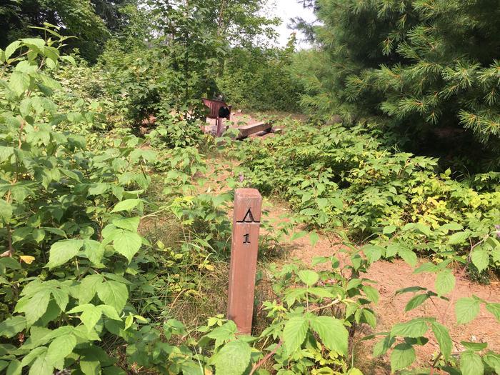
Lowney Creek site 1.
Lowney Creek Individual Backpacking Sites
Lowney Creek Campground is 1.5 miles from Little Beaver Lake Campground and three miles inland from Lake Superior. Lowney Creek
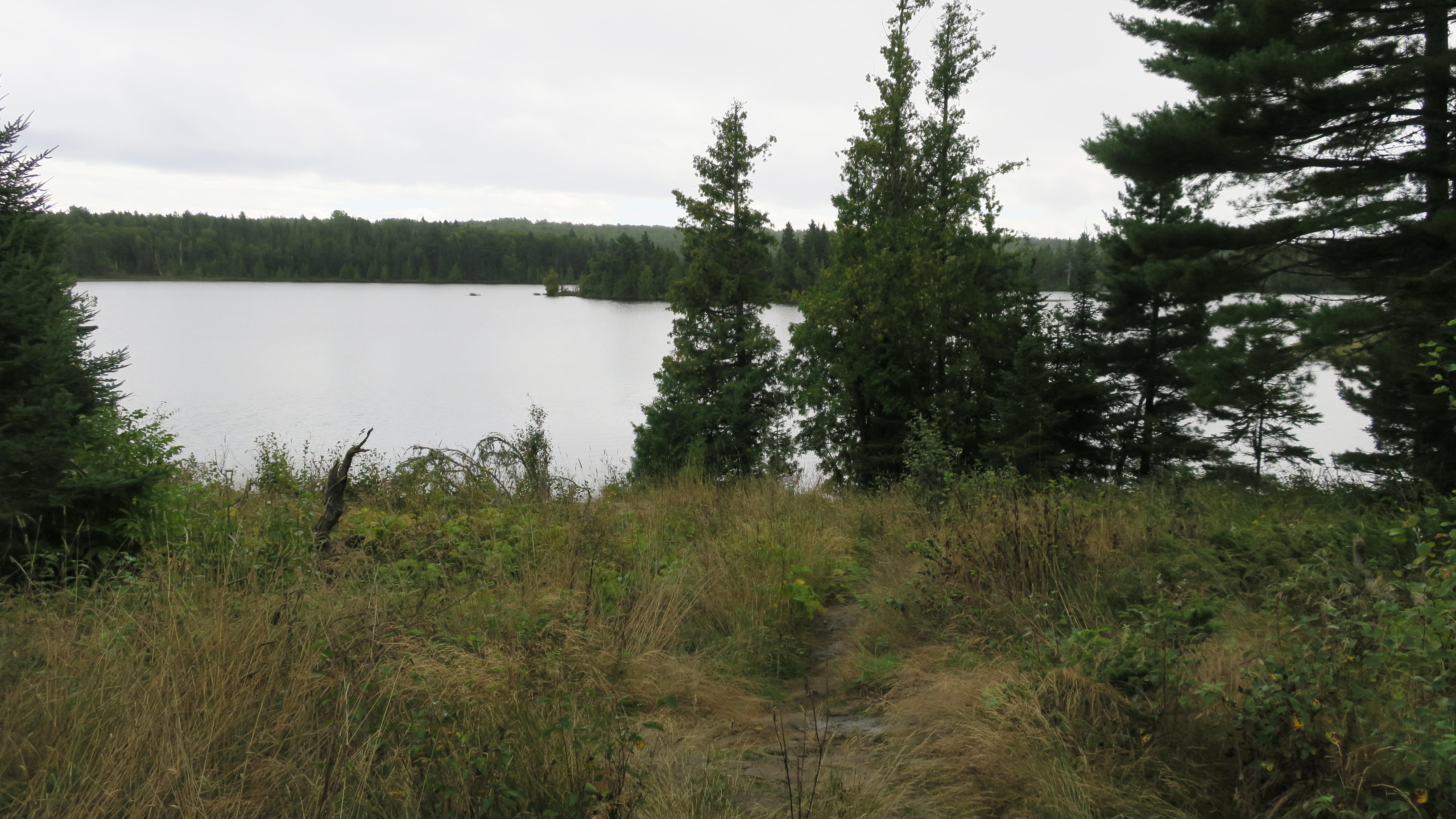
Lake Richie is a popular backpacking campground.
Lake Richie Campground
Lake Richie Campground is located on the north shore of Lake Richie, off of the Indian Portage Trail. Canoe/kayak access
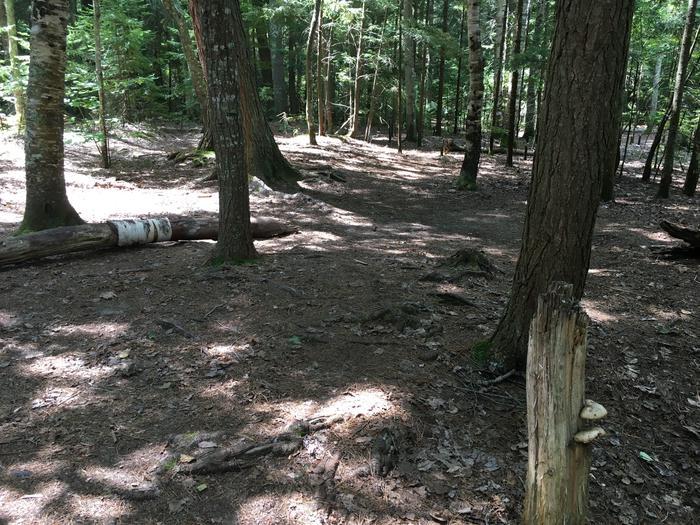
Coves Site 2.
Coves Individual Backpacking Sites
Coves Campground is inland from the North Country Trail, hidden behind the pine trees and ferns. There are two entry
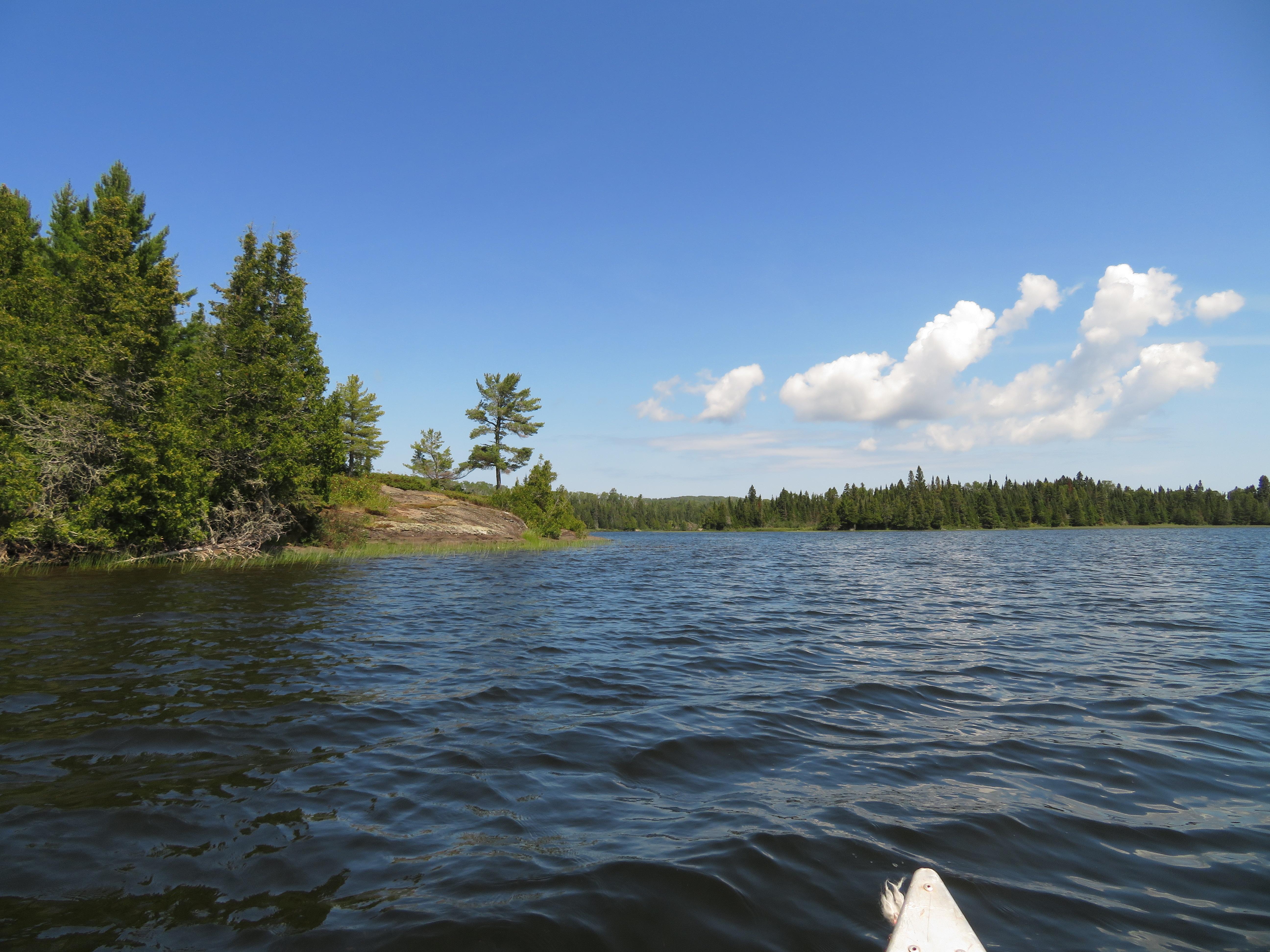
Paddling to Lake Richie Canoe Campsite
Lake Richie Canoe Campground
Lake Richie Canoe Campground is located on the north shore of Lake Richie. Canoe/kayak access via the .6 mile portage